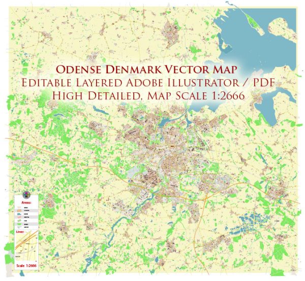
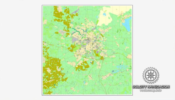
Odense is a city in Denmark, and its infrastructure may have evolved since then. Here is a general overview of some of the principal waterways, bridges, and main streets in Odense:
- Waterways:
- Odense Canal: This canal runs through the city, providing a picturesque setting and contributing to the overall charm of Odense.
- Odense River (Odense Å): The river flows through the city and is often integrated into the urban landscape.
- Bridges:
- Odins Bro (Odin’s Bridge): This is one of the notable bridges in Odense, crossing the Odense Canal. It is known for its unique design and connects different parts of the city.
- Kongens Bro (King’s Bridge): Another significant bridge in Odense, it spans the Odense River.
- Main Streets:
- Vestergade: This is one of the main shopping streets in Odense, lined with shops, cafes, and restaurants. It is a vibrant part of the city’s commercial center.
- Kongensgade: Another central street in Odense, Kongensgade is known for its shops and businesses. It is often bustling with activity.
- Hans Mules Gade: This street is located in the heart of Odense and features a mix of shops, cultural venues, and historical buildings.
Vectormap.Net provide you with the most accurate and up-to-date vector maps in Adobe Illustrator, PDF and other formats, designed for editing and printing. Please read the vector map descriptions carefully. For the most accurate and current information, it’s recommended to consult local maps, city guides, or official municipal sources.


 Author: Kirill Shrayber, Ph.D.