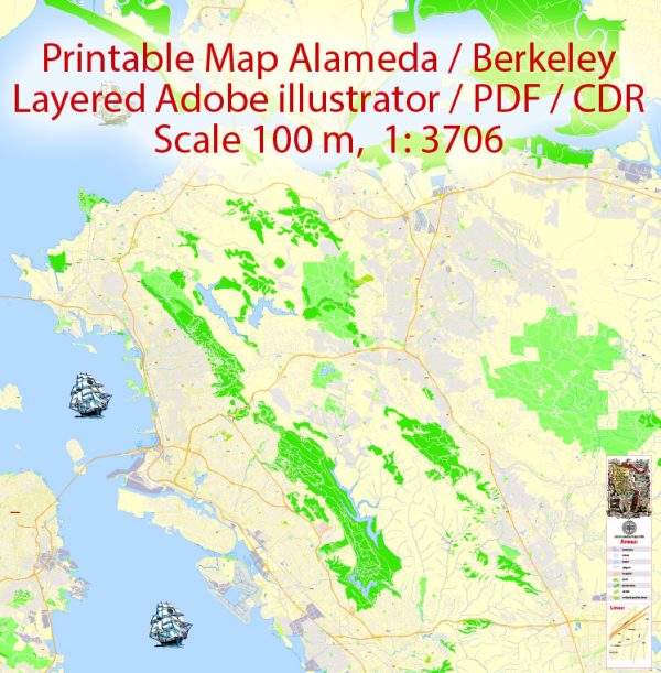
San Leandro: Transportation
San Leandro is served by the Interstate 880, 580 and 238 freeways connecting to other parts of the Bay Area.
East 14th Street (SR-185) is a major thoroughfare in downtown and continues towards East Oakland and Hayward.
Davis Street is also another major street that intersects East 14th Street in downtown before heading towards
the San Francisco Bay. Public transportation is provided by the Bay Area Rapid Transit BART District with
the San Leandro and Bayfair stations serving the city. San Leandro LINKS provides free bus shuttle service
for the western part of the city to the San Leandro BART station and AC Transit is the local bus provider
for the city. A senior-oriented local bus service, Flex Shuttle, also operates within the city, as does East Bay Paratransit,
which provides shuttle type transportation to residents with disabilities.
Parks
The San Leandro Marina, which contains group picnic areas and trails, as well as docking facilities,
is part of the San Leandro Shoreline Recreation Area.
In addition to Marina Park, the City of San Leandro maintains and services 16 other parks throughout the city,
all of which are available for use by residents and visitors alike.
The Department of Recreation and Human Services for the City of San Leandro also staffs and maintains
the Marina Community Center, the San Leandro Senior Community Center and the San Leandro Family Aquatic Center.
Adjacent Lake Chabot Regional Park is popular for its scenic hiking trails, camping, and fishing.
Although located in Castro Valley, the Fairmont Ridge Staging Area is the location of the Children’s Memorial Grove,
which consists of an Oak grove and a stone circle, with annual plaques listing the names
of all children who have died as a result of violence in Alameda County.
Vectormap.Net provide you with the most accurate and up-to-date vector maps in Adobe Illustrator, PDF and other formats, designed for editing and printing. Please read the vector map descriptions carefully.


 Author: Kirill Shrayber, Ph.D. FRGS