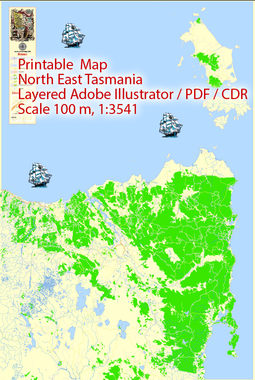
Principal waterways, bridges, main streets, and roads in North East Tasmania, Australia, some general information based on commonly known features and infrastructure in the region up to that point. Vectormap.Net provide you with the most accurate and up-to-date vector maps in Adobe Illustrator, PDF and other formats, designed for editing and printing. Please read the vector map descriptions carefully.
- Principal Waterways:
- Tamar River: The Tamar River is a significant waterway in the region, flowing through Launceston and providing a scenic landscape.
- Bridges:
- Batman Bridge: This is a notable bridge spanning the Tamar River. It connects the eastern and western shores of the river, providing a crucial transportation link in the area.
- Main Streets and Roads:
- Launceston: As the largest city in Northern Tasmania, Launceston has several main streets, including Charles Street, Brisbane Street, and St John Street, which are known for shopping, dining, and cultural activities.
- East Tamar Highway: This highway runs along the eastern side of the Tamar River, connecting Launceston to areas in the East Tamar region.
- West Tamar Highway: This highway runs along the western side of the Tamar River, connecting Launceston to areas in the West Tamar region.
For the most accurate and current information, it’s recommended to consult local maps, government sources, or regional authorities. Local municipalities and government agencies often provide detailed maps and information about infrastructure in the area. Additionally, websites of local government bodies or tourism boards may have up-to-date information on key features in North East Tasmania.


 Author: Kirill Shrayber, Ph.D. FRGS