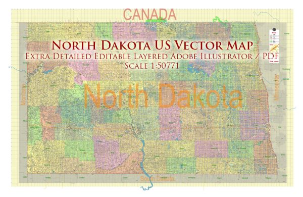
North Dakota is a state located in the northern part of the United States. Vectormap.Net provide you with the most accurate and up-to-date vector maps in Adobe Illustrator, PDF and other formats, designed for editing and printing. Please read the vector map descriptions carefully. Here is a general overview based on the information available:
Principal Cities in North Dakota:
- Fargo: Fargo is the largest city in North Dakota and is located in the southeastern part of the state. It is a major economic and cultural hub.
- Bismarck: Bismarck, the capital city of North Dakota, is situated in the south-central part of the state along the Missouri River.
- Grand Forks: Grand Forks is located in the northeastern part of North Dakota, near the border with Minnesota. It is home to the University of North Dakota.
- Minot: Minot is situated in the north-central part of the state. It is known for its Air Force base and is a regional center for commerce and industry.
- West Fargo: West Fargo is a rapidly growing city located adjacent to Fargo. It is part of the Fargo-Moorhead metropolitan area.
Waterways:
- Missouri River: The Missouri River flows through the western and central parts of North Dakota, including the capital city, Bismarck.
- Red River: The Red River forms part of the eastern border of North Dakota, separating it from Minnesota. Fargo is located along the Red River.
- Devils Lake: Devils Lake is a large natural lake in northeastern North Dakota. It is the largest natural body of water in the state.
Main Roads:
- Interstate Highways: North Dakota is served by I-29, which runs along the eastern border, and I-94, which travels east-west through the central part of the state.
- U.S. Highways: U.S. Highway 2 crosses the state from east to west, passing through cities like Grand Forks and Minot. U.S. Highway 83 runs north-south through the western part of the state.
- State Highways: North Dakota has a network of state highways connecting cities and towns throughout the state. These roads provide important transportation links for both residents and businesses.


 Author: Kirill Shrayber, Ph.D. FRGS