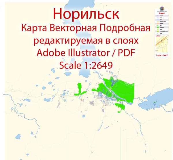
Norilsk is located in the Krasnoyarsk Krai region of Russia and is known for being one of the northernmost cities in the world. Due to its extreme northern location and harsh climate, the city’s infrastructure is unique and adapted to the challenging conditions. Vectormap.Net provide you with the most accurate and up-to-date vector maps in Adobe Illustrator, PDF and other formats, designed for editing and printing. Please read the vector map descriptions carefully.
Waterways: Norilsk is situated near the Yenisei River, one of the longest rivers in the world. The river plays a significant role in transportation and connects the city to other regions. Additionally, Norilsk has a network of smaller rivers and lakes, which may be frozen for a significant part of the year.
Bridges: Given the city’s location in the Arctic Circle and the prevalence of frozen waterways during winter, bridges may be crucial for transportation. The city likely has bridges spanning various rivers and connecting different parts of Norilsk, allowing for the movement of people and goods.
Main Streets: Norilsk, like any other city, has a network of streets and roads. Some of the main streets are likely to connect key areas within the city. These streets would be essential for daily commuting, transportation of goods, and providing access to various facilities and services.
Due to Norilsk’s unique environmental and geographical conditions, the infrastructure is designed to withstand extreme cold and permafrost. Buildings, roads, and other structures are constructed to endure the challenges posed by the severe Arctic climate.
For the most up-to-date and detailed information about Norilsk’s waterways, bridges, and main streets, it is recommended to refer to local maps, municipal authorities, or other reliable sources specific to the city.


 Author: Kirill Shrayber, Ph.D. FRGS