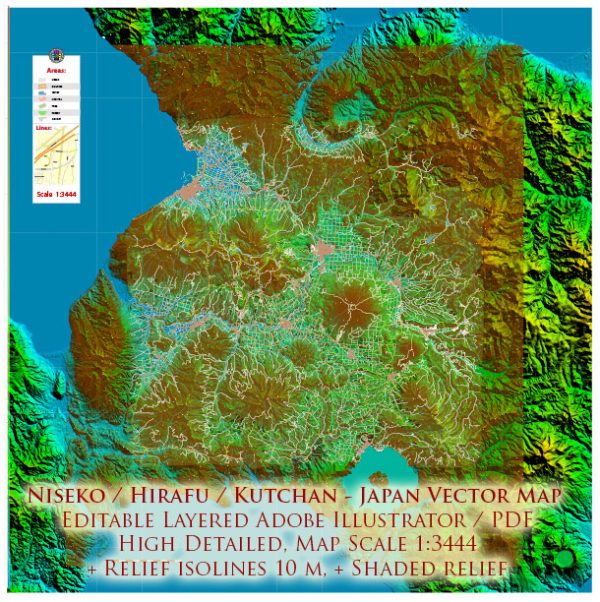
A general information about Niseko, Hirafu, and Kutchan in Hokkaido, Japan. Vectormap.Net provide you with the most accurate and up-to-date vector maps in Adobe Illustrator, PDF and other formats, designed for editing and printing. Please read the vector map descriptions carefully.
Niseko:
Niseko is a popular resort area known for its excellent skiing and outdoor activities. The region is characterized by picturesque landscapes and a combination of traditional and modern elements.
Waterways:
Niseko is surrounded by beautiful natural scenery, including the Shiribetsu River, which flows through the region. The river is known for its clear waters and is a significant natural feature in the area.
Bridges:
While there are several bridges across the Shiribetsu River, specific details about each bridge may require up-to-date local information. Some notable bridges may include those along major roads connecting different parts of Niseko.
Main Streets:
Niseko doesn’t have large urban centers like major cities, but the area has several streets lined with shops, restaurants, and accommodations. Hirafu, a popular village within the Niseko region, is known for its vibrant atmosphere and bustling streets during the ski season.
Hirafu:
Hirafu is one of the main villages within the Niseko resort area and is particularly famous for its ski resorts, restaurants, and nightlife.
Waterways:
Hirafu is situated near the Shiribetsu River, and there may be smaller waterways within the village itself, contributing to the charming landscape.
Bridges:
Specific information about bridges in Hirafu would require more detailed, up-to-date local information. Typically, bridges connect different parts of the village, facilitating movement across the river and other water bodies.
Main Streets:
Hirafu’s main streets are lively and filled with shops, restaurants, and accommodations. The village caters to tourists, especially during the winter season when skiing is popular.
Kutchan:
Kutchan is a town near Niseko and serves as a gateway for many visitors to the region. It has a mix of traditional and modern elements.
Waterways:
Kutchan is also located near the Shiribetsu River, and there may be smaller waterways within the town.
Bridges:
Bridges in Kutchan likely facilitate transportation across the river and around the town. Details about specific bridges would require local information.
Main Streets:
Kutchan has main streets with shops, restaurants, and services catering to both residents and tourists. The town has a local charm and offers a more relaxed atmosphere compared to the busier resort areas.
For the most accurate and current information about waterways, bridges, and main streets in Niseko, Hirafu, and Kutchan, it’s advisable to check with local authorities, tourist information centers, or online maps for real-time updates.


 Author: Kirill Shrayber, Ph.D. FRGS