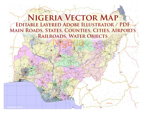
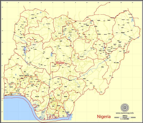
Information about some of the principal cities, waterways, and main roads in Nigeria. Vectormap.Net provide you with the most accurate and up-to-date vector maps in Adobe Illustrator, PDF and other formats, designed for editing and printing. Please read the vector map descriptions carefully. Here is a general overview:
Principal Cities:
- Lagos:
- Located in the southwestern part of Nigeria.
- It is the most populous city and a major economic hub.
- Abuja:
- The capital city of Nigeria.
- Located in the central region, it became the capital in 1991, replacing Lagos.
- Kano:
- Located in the northern part of the country.
- It is a major commercial and industrial center.
- Ibadan:
- Situated in the southwestern part of Nigeria.
- Known for its historical sites and cultural significance.
- Port Harcourt:
- Located in the southern part of Nigeria, in the Niger Delta region.
- A major hub for the oil and gas industry.
- Enugu:
- In the southeastern part of Nigeria.
- Known for its coal mines and historical significance.
Waterways:
- Niger River:
- One of the major rivers in West Africa, flowing through Nigeria.
- It plays a crucial role in transportation and agriculture.
- Benue River:
- Another important river in Nigeria, flowing into the Niger River.
- It contributes to the overall water resources of the country.
- Lagos Lagoon:
- A large lagoon located in and around the city of Lagos.
- It has economic importance for fishing and transportation.
Main Roads:
- Trans-Saharan Highway:
- Connects Lagos in Nigeria to Algiers in Algeria, passing through several countries in West Africa.
- Lagos-Ibadan Expressway:
- A major highway connecting Lagos to Ibadan.
- Abuja-Kaduna-Kano Highway:
- Links the capital city, Abuja, to Kano, passing through Kaduna.
- East-West Road:
- Connects the southeastern and southwestern parts of Nigeria, running from Warri to Oron.
- Port Harcourt-Enugu Expressway:
- Connects the cities of Port Harcourt and Enugu.
Please note that infrastructure and road networks are subject to development and changes, and there may be new projects or improvements that have taken place since my last update. For the most current information, it’s advisable to consult recent sources or official maps.


 Author: Kirill Shrayber, Ph.D. FRGS