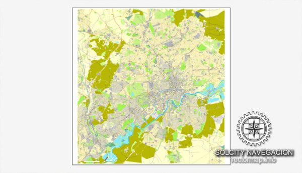
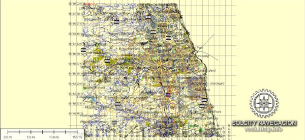
Newcastle upon Tyne, commonly known as Newcastle, is a vibrant city in the northeast of England. It is part of the larger urban area called Tyneside, which includes neighboring Gateshead on the south bank of the River Tyne. Here’s a brief description of the principal cities, waterways, and main roads in and around Newcastle:
Principal Cities:
- Newcastle upon Tyne:
- The heart of the region, known for its rich history, cultural attractions, and lively nightlife.
- Home to Newcastle University and several historic landmarks such as Newcastle Castle.
- Gateshead:
- Situated on the south bank of the River Tyne, directly opposite Newcastle.
- Famous for the Gateshead Millennium Bridge and the BALTIC Centre for Contemporary Art.
Waterways:
- River Tyne:
- The iconic river that runs through the heart of Newcastle, separating it from Gateshead.
- Bridges, including the Tyne Bridge, Swing Bridge, and Millennium Bridge, connect the two sides.
Main Roads:
- A167 (Central Motorway):
- A major road running through the city center, connecting Newcastle with Gateshead.
- Provides access to key locations and attractions.
- A184 (Felling Bypass):
- Connects Newcastle and Gateshead, serving as a major route for commuters.
- Links to the A1, a major north-south motorway.
- A1(M):
- The A1 motorway passes to the west of Newcastle, providing a major route from London to Edinburgh.
- Connects Newcastle with other major cities and towns.
- A695 (Scotswood Road):
- Connects the western suburbs of Newcastle with the city center.
- Historically significant and has seen redevelopment in recent years.
- A184 (Askew Road):
- Runs through the western part of Newcastle, connecting neighborhoods and providing access to the city center.
- A189 (Grandstand Road):
- Connects the city center with the northern suburbs and the Coast Road (A1058).
- A1058 (Coast Road):
- Follows the northern edge of the city, offering a coastal route and connecting to the A19.
These roads and waterways contribute to the accessibility and connectivity of Newcastle, allowing residents and visitors to explore the diverse neighborhoods, cultural sites, and natural beauty in and around the city.


 Author: Kirill Shrayber, Ph.D.