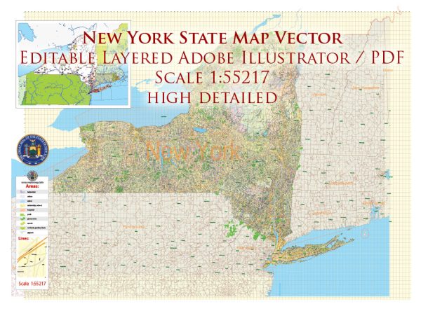
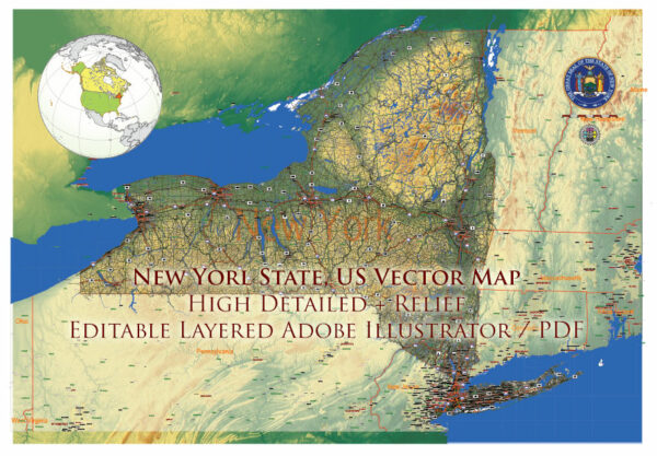
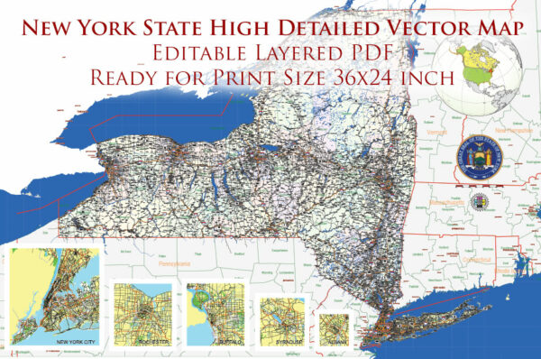
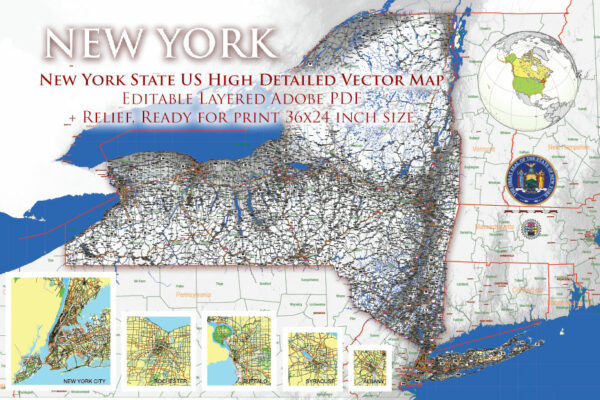
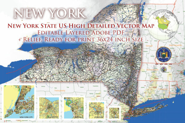
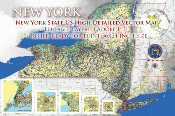
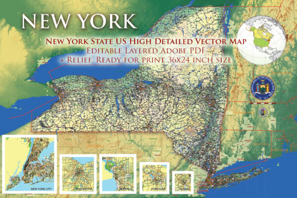
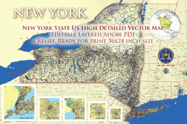
New York State is a diverse and geographically varied region with a mix of urban and rural landscapes. Here’s an overview of some principal cities, waterways, and main roads in the state:
Principal Cities:
- New York City:
- The most populous city in the United States, known for its iconic skyline, cultural attractions, and diverse neighborhoods.
- Comprising five boroughs: Manhattan, Brooklyn, Queens, Bronx, and Staten Island.
- Albany:
- The capital city of New York State.
- Located on the west bank of the Hudson River, Albany is known for its historical significance and government institutions.
- Buffalo:
- Situated near the Canadian border and the Great Lakes, Buffalo is known for its industrial history and is a major port city.
- Rochester:
- Located on the southern shore of Lake Ontario, Rochester is known for its cultural institutions, including the Eastman School of Music.
- Syracuse:
- Positioned in central New York, Syracuse is known for its universities, including Syracuse University, and as a regional economic hub.
- Yonkers:
- A city in Westchester County, Yonkers is part of the New York metropolitan area and is known for its waterfront along the Hudson River.
Waterways:
- Hudson River:
- One of the most important rivers in the state, flowing from the Adirondack Mountains to the Atlantic Ocean.
- It passes through Albany and provides a vital transportation route.
- Erie Canal:
- A historic waterway connecting the Hudson River to the Great Lakes.
- Played a significant role in the development of trade and transportation in the 19th century.
- Great Lakes:
- Lake Erie and Lake Ontario form the northern border of the state.
- These lakes are important for shipping, recreation, and contribute to the state’s climate.
Main Roads:
- New York State Thruway (I-90):
- A major east-west highway connecting Buffalo to Albany and continuing towards Massachusetts.
- A toll road that is a vital transportation corridor.
- I-87 (Northway):
- Connects New York City to the Canadian border, passing through Albany and the Adirondack Mountains.
- I-81:
- Runs north-south through central New York, connecting the Canadian border to Pennsylvania.
- I-95:
- A major north-south interstate that runs along the eastern border of the state, connecting New York City to other major cities on the East Coast.
- Taconic State Parkway:
- A scenic parkway running north-south through eastern New York, known for its picturesque views and recreational areas.
These are just a few highlights, and New York State has an extensive network of highways, byways, and water routes that contribute to its economic and cultural significance.
Vectormap.Net provide you with the most accurate and up-to-date vector maps in Adobe Illustrator, PDF and other formats, designed for editing and printing. Please read the vector map descriptions carefully.

 Author: Kirill Shrayber, Ph.D. FRGS