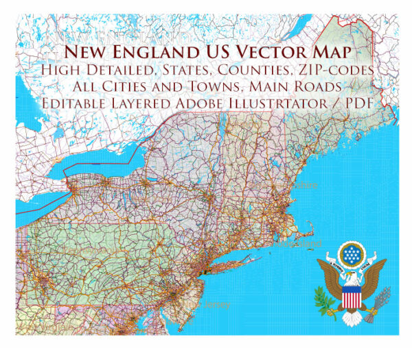
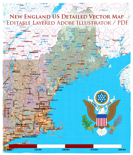
New England refers to the northeastern region of the United States, comprising six states: Connecticut, Maine, Massachusetts, New Hampshire, Rhode Island, and Vermont.
Vectormap.Net provide you with the most accurate and up-to-date vector maps in Adobe Illustrator, PDF and other formats, designed for editing and printing. Please read the vector map descriptions carefully.
Let’s explore the economic and transport connections in New England:
Economic Overview:
- Diverse Economy: New England has a diverse and robust economy with strengths in various sectors such as technology, healthcare, finance, education, and manufacturing.
- Education and Innovation: The region is home to several prestigious universities and research institutions, fostering innovation and a highly skilled workforce. This has contributed to the growth of technology and biotech industries.
- Financial Services: Massachusetts, particularly the Boston metropolitan area, is a major financial hub. The state is home to many investment firms, mutual fund companies, and insurance companies.
- Manufacturing: While manufacturing has declined in some areas, there is still a significant manufacturing presence, especially in aerospace, defense, and high-tech industries.
- Tourism: New England attracts tourists throughout the year, thanks to its historical sites, picturesque landscapes, and cultural events. Tourism is a vital component of the regional economy.
- Renewable Energy: Several New England states are at the forefront of adopting renewable energy sources. There’s a growing focus on wind and solar power, contributing to the region’s green economy.
Transportation Connections:
- Highways: New England has a well-developed network of highways connecting its states and major cities. Interstate highways such as I-95 and I-90 facilitate the movement of goods and people.
- Railroads: Rail transport is essential for both freight and passenger services. Amtrak provides passenger rail services connecting major cities, while freight railroads play a crucial role in transporting goods.
- Airports: The region is served by several major airports, including Logan International Airport in Boston, Bradley International Airport in Connecticut, and Manchester-Boston Regional Airport in New Hampshire. These airports facilitate domestic and international air travel.
- Ports: The coastal location of some New England states, such as Massachusetts and Rhode Island, provides access to important ports. These ports handle cargo shipments and support trade activities.
- Public Transportation: Major cities in New England, especially Boston, have well-developed public transportation systems, including buses and subways. These systems ease commuting and contribute to the overall connectivity of the region.
- Infrastructure Investments: Ongoing infrastructure projects and investments aim to improve and modernize transportation networks in the region. These efforts focus on enhancing efficiency, reducing congestion, and supporting economic growth.
It’s important to check for the latest updates and developments as the economic and transport landscape can evolve over time.


 Author: Kirill Shrayber, Ph.D. FRGS