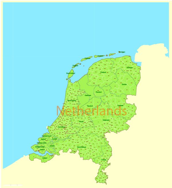
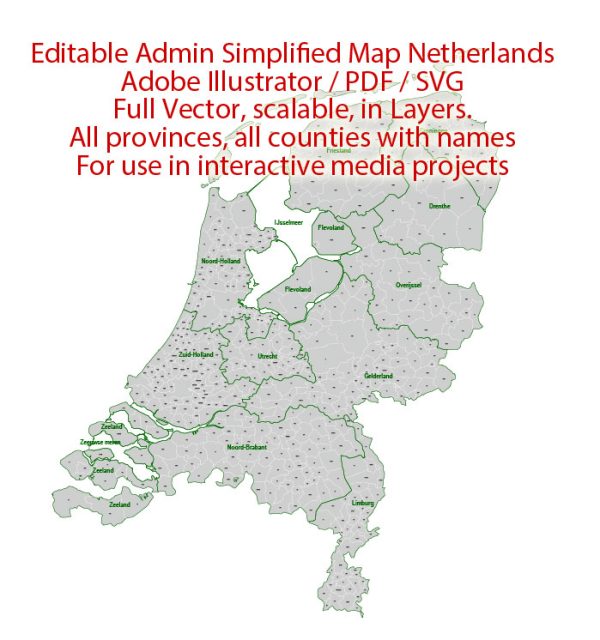
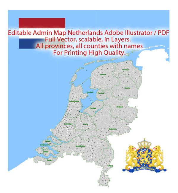
The Netherlands is a country located in Northwestern Europe known for its flat landscape, extensive canal systems, windmills, and vibrant cities. Here’s a brief description of some of the principal cities, waterways, and main roads in the Netherlands:
Principal Cities:
- Amsterdam:
- The capital and largest city of the Netherlands.
- Famous for its picturesque canals, historic architecture, and cultural attractions like the Rijksmuseum and Van Gogh Museum.
- A major financial and cultural hub with a lively atmosphere.
- Rotterdam:
- Europe’s largest port city and a major logistic and economic center.
- Known for its modern architecture, including the Cube Houses and Erasmus Bridge.
- Hosts numerous cultural events and festivals.
- The Hague (Den Haag):
- The seat of the Dutch government and home to many international organizations.
- Known for its governmental buildings, museums, and the Peace Palace.
- A city with a rich history and diverse cultural scene.
- Utrecht:
- A historic city with a medieval city center and canals.
- Hosts the largest university in the Netherlands.
- Famous for the Dom Tower and its lively cafes and restaurants.
- Eindhoven:
- A city in the southern part of the Netherlands known for its technological innovation.
- Home to the headquarters of Philips and a significant technology and design hub.
- Hosts the annual Dutch Design Week.
Waterways:
- Amsterdam Canals:
- A UNESCO World Heritage site, the canals form a network throughout the city.
- Used historically for transportation and defense, now popular for boat tours and leisure.
- Rhine River:
- One of the major rivers in Europe, flowing through the eastern part of the Netherlands.
- Important for transportation and water management.
- Ijsselmeer:
- A large freshwater lake in the central Netherlands, created by the closure of the Zuiderzee.
- Used for recreation, fishing, and water sports.
Main Roads:
- A1 (Amsterdam to Germany):
- A major east-west highway connecting Amsterdam with Germany.
- A2 (Amsterdam to Maastricht):
- A north-south highway connecting Amsterdam with the southern part of the Netherlands.
- A4 (Amsterdam to Rotterdam):
- Connects Amsterdam with Rotterdam, passing through The Hague.
- A7 (Amsterdam to Groningen):
- Links Amsterdam with the northern city of Groningen.
These cities, waterways, and roads contribute to the dynamic and well-connected nature of the Netherlands, supporting its economic, cultural, and historical significance.


 Author: Kirill Shrayber, Ph.D. FRGS