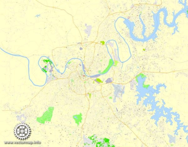
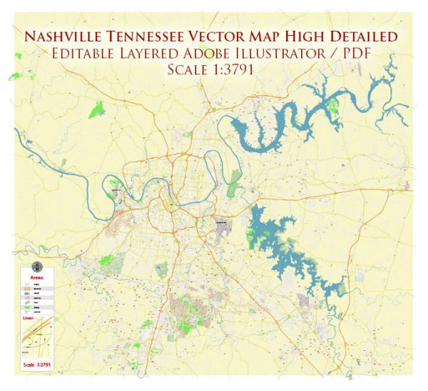
Nashville, Tennessee, is known for its vibrant music scene, historic sites, and diverse culture. The city is situated along the Cumberland River, and its principal waterway is the Cumberland River itself. The river has played a crucial role in the city’s history and development.
Principal Waterways:
- Cumberland River: The Cumberland River runs through the heart of Nashville, providing a scenic backdrop to the cityscape. It has been a significant transportation route and played a role in the city’s economic development.
Bridges:
- John Seigenthaler Pedestrian Bridge: This iconic bridge spans the Cumberland River and connects downtown Nashville with the suburb of East Nashville. It is a popular spot for pedestrians, offering stunning views of the city skyline.
- Shelby Street Pedestrian Bridge: Another pedestrian bridge, the Shelby Street Bridge, is a historic structure that spans the Cumberland River, connecting downtown Nashville with the residential areas of East Nashville.
- General Jackson Showboat Bridge: This is a unique rotating bridge located near the Grand Ole Opry. It allows the passage of the General Jackson Showboat, a popular attraction in Nashville.
Main Streets:
- Broadway: Broadway is the epicenter of Nashville’s entertainment district. Lined with honky-tonk bars, live music venues, and restaurants, it’s a must-visit for anyone looking to experience the city’s lively atmosphere.
- 2nd Avenue: Historic 2nd Avenue features a mix of dining, shopping, and entertainment options. The area is known for its preserved 19th-century architecture and is a popular destination for both locals and tourists.
- Demonbreun Street: Located just south of downtown, Demonbreun Street is known for its nightlife. It’s home to various bars, clubs, and restaurants, making it a popular spot for those seeking a vibrant evening scene.
- West End Avenue: West End Avenue is a major thoroughfare that runs through the city. It connects downtown Nashville with the west side of the city and is lined with businesses, hotels, and the campuses of Vanderbilt University and Centennial Park.
These are just a few highlights of Nashville’s principal waterways, bridges, and main streets. The city’s layout and landmarks contribute to its unique character and appeal.


 Author: Kirill Shrayber, Ph.D. FRGS