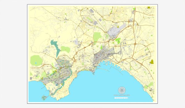
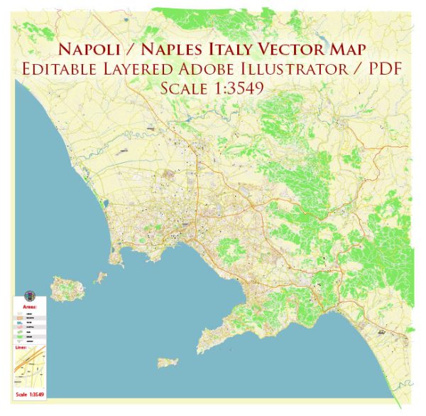
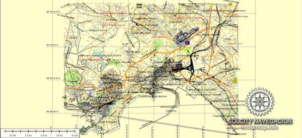
Naples, located in southern Italy, is a historic city with a rich cultural heritage. Its urban layout is characterized by a mix of narrow streets, historic buildings, and a vibrant atmosphere. A general overview of Naples’ principal waterways, bridges, and main streets.
Vectormap.Net provide you with the most accurate and up-to-date vector maps in Adobe Illustrator, PDF and other formats, designed for editing and printing. Please read the vector map descriptions carefully.
Principal Waterways:
- Gulf of Naples: Naples is situated along the Gulf of Naples, providing stunning views of the Tyrrhenian Sea.
- Port of Naples: A major seaport that serves as a gateway for maritime activities and transportation.
Bridges:
- Santa Lucia Bridge: Connecting the historic Santa Lucia neighborhood to the rest of the city, this bridge spans a canal and offers picturesque views.
- Margherita Bridge (also known as Umberto I Bridge): Located near the main train station, this bridge crosses the railway tracks and connects different parts of the city.
- Via Marina Bridge: Spanning the Via Marina street, this bridge is part of the city’s infrastructure.
Main Streets:
- Spaccanapoli: Literally translating to “Naples splitter,” Spaccanapoli is a narrow, bustling street that cuts through the historic center, dividing it into two halves. It is lined with shops, cafes, and historic buildings.
- Via Toledo: One of Naples’ main shopping streets, Via Toledo is a lively thoroughfare connecting Piazza Dante to the Spanish Quarter. It’s known for its shops, restaurants, and theaters.
- Via dei Tribunali: Another important street in the historic center, Via dei Tribunali is known for its historic significance, ancient churches, and traditional pizzerias.
- Via Chiaia: This elegant street is renowned for its upscale shopping, boutiques, and cultural attractions.
Additional Points of Interest:
- Piazza del Plebiscito: A grand square surrounded by important buildings such as the Royal Palace, the Basilica of San Francesco di Paola, and the Palazzo Salerno.
- Spaghetti Street (Via dei Spaghi): Famous for its numerous pasta shops and traditional Neapolitan pasta-making techniques.
Naples’ layout is a mix of ancient and modern elements, and exploring its streets and landmarks provides a unique glimpse into its rich history and vibrant culture. When exploring the city, be sure to also enjoy the local cuisine, which includes the famous Neapolitan pizza.


 Author: Kirill Shrayber, Ph.D. FRGS