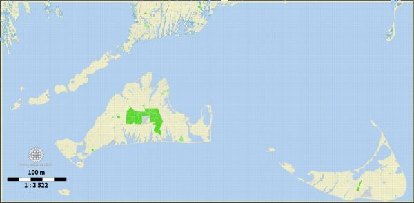
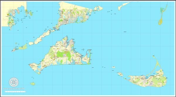
Nantucket and Martha’s Vineyard are two picturesque islands located off the southeastern coast of Massachusetts in the United States. They are popular summer destinations known for their scenic beauty, historic charm, and relaxed atmosphere. Here’s a brief description of each island, including principal cities, waterways, and main roads:
Nantucket:
- Principal City: The principal town on Nantucket is Nantucket Town, located on the southern side of the island. It is known for its cobblestone streets, historic architecture, and charming atmosphere.
- Waterways: Nantucket is surrounded by the Nantucket Sound to the north, the Atlantic Ocean to the south, and Nantucket Harbor on the eastern side. The harbor serves as a popular anchorage for boats and ferries.
- Main Roads: The road network on Nantucket is relatively small, with many charming, narrow streets. Some notable roads include Milestone Road, which runs from the west to the east, and Polpis Road, which leads to the eastern part of the island. Additionally, Cliff Road offers scenic views along the northern shore.
Martha’s Vineyard:
- Principal Cities: Martha’s Vineyard consists of several towns, with the main ones being Edgartown (southeast), Oak Bluffs (northeast), Vineyard Haven (northwest), and West Tisbury (central). Each town has its own unique character and attractions.
- Waterways: Martha’s Vineyard is surrounded by the Atlantic Ocean, and several bodies of water, including Vineyard Sound to the north and Nantucket Sound to the northeast. The island has numerous ponds and lakes, adding to its natural beauty.
- Main Roads: Martha’s Vineyard has a more extensive road network compared to Nantucket. State Road (Route 1) runs east to west across the island, connecting the main towns. Beach Road provides a scenic route along the southern shore, connecting Edgartown and Oak Bluffs. Additionally, the island has various smaller roads that lead to different beaches, landmarks, and residential areas.
Both Nantucket and Martha’s Vineyard are accessible by ferry and, in the case of Nantucket, by small aircraft. Visitors can enjoy a variety of outdoor activities, historic sites, and the unique charm of each island.


 Author: Kirill Shrayber, Ph.D. FRGS