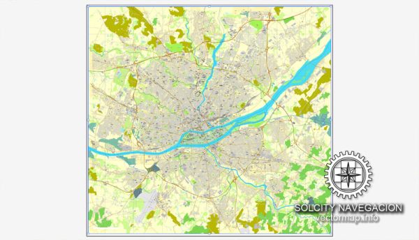
A general description of Nantes, France, including its principal waterways, bridges, and main streets. Vectormap.Net provide you with the most accurate and up-to-date vector maps in Adobe Illustrator, PDF and other formats, designed for editing and printing. Please read the vector map descriptions carefully.
Waterways: Nantes is situated on the Loire River, which is the longest river in France. The river plays a significant role in the city’s geography and history. The Erdre River, a tributary of the Loire, also flows through the city. The convergence of these two rivers contributes to Nantes’ maritime character.
Bridges:
- Pont Anne de Bretagne: This bridge spans the Erdre River and connects the neighborhoods of Hauts-Pavés and Saint-Félix. It’s a notable modern bridge named after Anne of Brittany, a historical figure associated with the region.
- Pont des Trois Continents: Crossing the Loire River, this bridge connects the Île de Nantes with the north bank. Its name, “Bridge of the Three Continents,” reflects the global perspectives of the city.
- Pont de Cheviré: This bridge is important for vehicular traffic, connecting the northern and southern parts of the city over the Loire River.
Main Streets:
- Cours des 50 Otages: A prominent street in the city center, known for its shops, cafes, and historical architecture.
- Rue Crébillon: This street is famous for its upscale boutiques and is one of the key shopping areas in Nantes.
- Quai de la Fosse: Running along the southern bank of the Loire River, this quay offers picturesque views and is a popular place for strolling.
- Rue du Calvaire: Located in the Bouffay district, this street is known for its vibrant nightlife with numerous bars and restaurants.
- Boulevard de la Prairie-au-Duc: This boulevard is located on the Île de Nantes and provides a scenic route for walking or cycling along the Loire River.
Remember, urban landscapes can change, and new developments may have occurred since my last update. For the most accurate and up-to-date information, I recommend checking with local sources or recent maps of Nantes.


 Author: Kirill Shrayber, Ph.D. FRGS