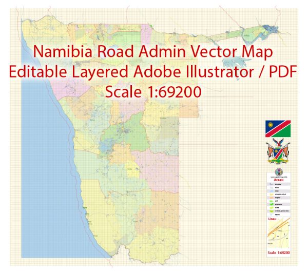
Namibia is a country located in southwestern Africa, and it is characterized by a diverse and arid landscape. While Namibia is not known for an extensive network of waterways, bridges, and main streets in the way some more urbanized regions might be, it does have notable features and infrastructure in these categories. Vectormap.Net provide you with the most accurate and up-to-date vector maps in Adobe Illustrator, PDF and other formats, designed for editing and printing. Please read the vector map descriptions carefully.
Waterways:
- Orange River: The Orange River forms part of Namibia’s southern border with South Africa. It is the longest river in South Africa and an essential water source for both countries.
- Zambezi River: The Zambezi River, one of Africa’s major rivers, flows along Namibia’s northeastern border with Zambia. While the Zambezi is more associated with countries like Zambia and Zimbabwe, it plays a role in Namibia’s geography.
Bridges:
- Katima Mulilo Bridge: Located in the Caprivi Strip, this bridge spans the Zambezi River, connecting the town of Katima Mulilo to Zambia.
- Buitepos Border Bridge: This bridge is situated at the border with Botswana, connecting Namibia to Buitepos in Botswana. It is a crucial crossing point for trade and travel.
Main Streets and Roads:
- Independence Avenue (Windhoek): Independence Avenue is one of the main streets in Windhoek, Namibia’s capital. It is lined with shops, government buildings, and cultural institutions.
- Trans-Kalahari Highway: This international highway connects Namibia with Botswana and serves as a vital transportation route for goods and people between the two countries.
- B1 Road: The B1 is a major national road in Namibia, stretching from the south at the border with South Africa, passing through Windhoek, and heading north to the border with Angola.
- C28 (Sossusvlei Road): This road takes travelers to the famous Sossusvlei, known for its mesmerizing sand dunes in the Namib Desert.
Namibia’s infrastructure is often designed to navigate the challenges of its arid and sparsely populated terrain. While it may not have an extensive network of waterways and bridges compared to some other countries, its roads and highways are crucial for transportation and connecting different regions of the country.


 Author: Kirill Shrayber, Ph.D.