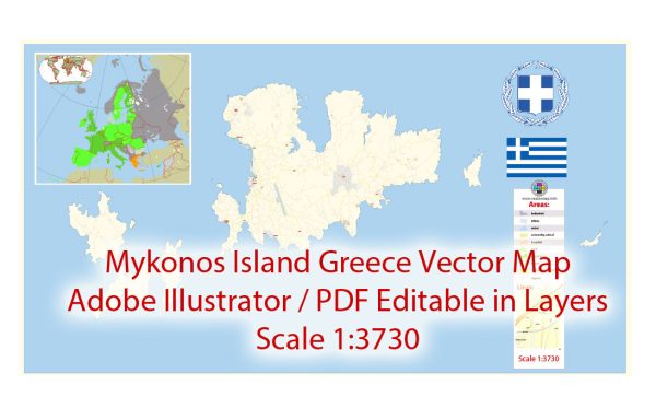
Mykonos is a popular Greek island located in the Aegean Sea. It is part of the Cyclades archipelago and is known for its stunning beaches, vibrant nightlife, and picturesque landscapes. While Mykonos is not characterized by large cities in the traditional sense, it does have a principal town and various smaller settlements. Here’s a description of the main features on the island:
- Mykonos Town (Chora):
- Mykonos Town, also known as Chora, is the principal town and the main hub of activity on the island.
- The town is famous for its narrow winding streets, white-washed buildings, and vibrant nightlife.
- Landmarks in Mykonos Town include the iconic windmills, Little Venice, and the Church of Paraportiani.
- Ano Mera:
- Ano Mera is the second-largest settlement on the island and is located inland.
- It offers a more traditional Greek experience with a central square surrounded by tavernas and the historic Panagia Tourliani monastery.
- Beaches:
- Mykonos is renowned for its beautiful beaches. Some of the popular ones include Paradise Beach, Super Paradise Beach, Ornos Beach, and Agios Ioannis Beach.
- These beaches are known for their golden sands, crystal-clear waters, and vibrant beach clubs.
- Waterways:
- Mykonos is an island, so its primary “waterways” are the surrounding Aegean Sea.
- The island does not have significant rivers or lakes, but its coastline is dotted with coves, bays, and small harbors.
- Main Roads:
- The road network on Mykonos is relatively well-developed, connecting various parts of the island.
- Mykonos Town is the central point, and roads radiate outwards to different beaches, villages, and points of interest.
- Renting a car, ATV, or scooter is a common way for visitors to explore the island.
- Transportation:
- Mykonos has a small airport, Mykonos Island National Airport (JMK), which connects the island to Athens and other major European cities.
- Ferries and high-speed boats link Mykonos to other islands in the Cyclades as well as the mainland.
While Mykonos may not have large cities or extensive waterways, its charm lies in its picturesque villages, stunning beaches, and the lively atmosphere of Mykonos Town. The island is a popular destination for those seeking both relaxation and vibrant entertainment.


 Author: Kirill Shrayber, Ph.D. FRGS