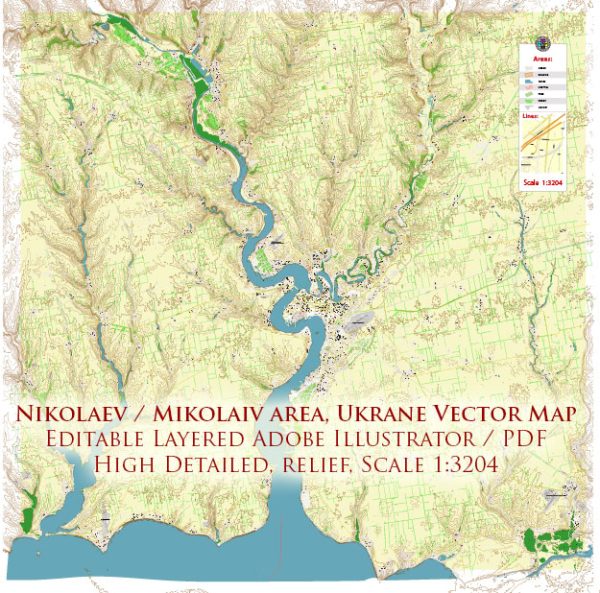
A general overview of Mykolaiv, Ukraine’s principal waterways, bridges, and main streets. Vectormap.Net provide you with the most accurate and up-to-date vector maps in Adobe Illustrator, PDF and other formats, designed for editing and printing. Please read the vector map descriptions carefully.
Waterways: Mykolaiv is situated on the banks of the Southern Bug River, which flows through the city. The Southern Bug River is a significant waterway in the region, providing both economic and recreational opportunities. The city’s connection to this river has historically played a crucial role in its development and trade activities.
Bridges:
- Ingul Bridge: This is one of the major bridges in Mykolaiv, connecting different parts of the city. It spans the Ingul River, a tributary of the Southern Bug River.
- Pivdennyi Bridge: Another important bridge, it connects various districts in Mykolaiv and is crucial for transportation across the Southern Bug River.
Main Streets:
- Soborna Street: This is one of the central streets in Mykolaiv, known for its shops, cafes, and cultural attractions.
- Lenina Avenue: Lenina Avenue is a significant thoroughfare in the city, hosting various businesses, government offices, and cultural institutions.
- Admiralska Street: This street is named after the admirals and is located in the historical part of Mykolaiv. It has a charming atmosphere with old architecture and is often visited by tourists.
- Tsentralnyi Avenue: This avenue is a central hub for commerce and social activities, hosting a variety of shops, restaurants, and public spaces.
It’s important to check for updates from local sources or maps for the most current information, as urban landscapes can change due to development projects and infrastructure improvements.


 Author: Kirill Shrayber, Ph.D. FRGS