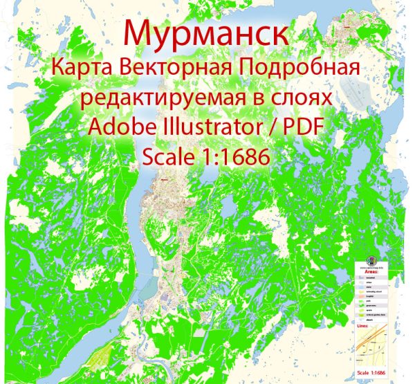
Murmansk is a port city located in the extreme northwest of Russia, near the border with Norway and Finland. It is situated on the Kola Peninsula, overlooking the Barents Sea. Murmansk is known for being one of the largest cities within the Arctic Circle. A general overview of the city’s waterways, bridges, and main streets. Vectormap.Net provide you with the most accurate and up-to-date vector maps in Adobe Illustrator, PDF and other formats, designed for editing and printing. Please read the vector map descriptions carefully.
Waterways: Murmansk is primarily situated along the eastern shore of the Kola Bay, an inlet of the Barents Sea. The Kola Bay serves as a natural harbor for the city and is a crucial waterway for shipping and maritime activities. The city’s port facilities are essential for the transportation of goods, particularly given Murmansk’s strategic location in the Arctic region.
Bridges: Murmansk has several bridges that span its waterways, connecting different parts of the city. The most notable bridge is likely to be the Kolsky Bridge, which crosses the Kola River. Bridges in Murmansk are crucial for facilitating transportation and traffic flow, especially in a city with numerous water bodies.
Main Streets: Murmansk has a network of streets and avenues that connect its various neighborhoods and districts. Some of the main streets in the city include:
- Lenin Avenue (Avenue Lenina): As is common in many Russian cities, Lenin Avenue is often a central and prominent thoroughfare. It may be lined with shops, offices, and other establishments.
- Kirov Street (Ulitsa Kirova): Named after Soviet political figure Sergey Kirov, this street is likely to be a significant route through the city.
- Prospekt Lenina: Similar to Lenin Avenue, Prospekt Lenina is another major street that may be a focal point for commercial and civic activities.
- Sovetskaya Street (Ulitsa Sovetskaya): This street’s name reflects the historical period during which the city was established, and it may be home to various businesses and cultural institutions.
Keep in mind that street names and infrastructure can change over time due to urban development and other factors. For the latest and most accurate information, it is advisable to consult local maps or official city resources.


 Author: Kirill Shrayber, Ph.D. FRGS