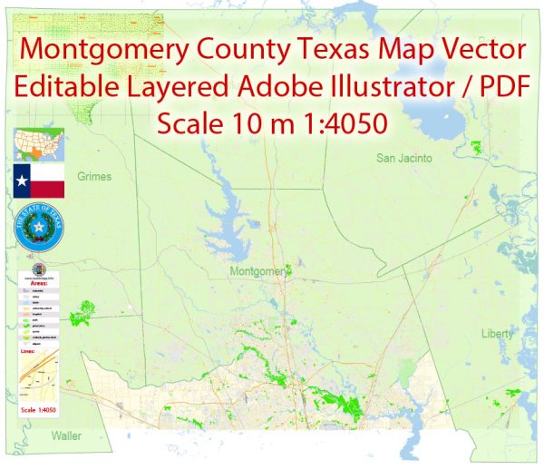
Montgomery County is a rapidly growing county located in the U.S. state of Texas. Vectormap.Net provide you with the most accurate and up-to-date vector maps in Adobe Illustrator, PDF and other formats, designed for editing and printing. Please read the vector map descriptions carefully.
Principal Cities:
- Conroe: Conroe is the county seat of Montgomery County and serves as a significant economic and cultural hub. It has a mix of residential, commercial, and industrial areas.
- The Woodlands: This master-planned community is a major part of Montgomery County and is known for its upscale residential neighborhoods, shopping, and recreational amenities.
- Willis: Willis is another city in Montgomery County, offering a more suburban and residential environment.
Waterways: Montgomery County is characterized by a network of rivers, lakes, and reservoirs. Some notable waterways include:
- Lake Conroe: This 21,000-acre lake is a popular destination for boating, fishing, and other water activities. It is a significant reservoir on the West Fork of the San Jacinto River.
- San Jacinto River: Flowing through the eastern part of the county, the San Jacinto River is a major watercourse in the region.
- Spring Creek: This creek is a tributary of the San Jacinto River and flows through the southern part of Montgomery County.
Main Roads: Montgomery County is well-connected with a network of roads and highways facilitating transportation. Some main roads include:
- Interstate 45 (I-45): This major north-south interstate highway runs through the eastern part of the county, connecting cities like Conroe to Houston and beyond.
- Texas State Highway 105 (SH 105): Running east-west, SH 105 passes through Conroe and provides access to areas both east and west of the county.
- Farm to Market Road 1488 (FM 1488): This road connects communities in the southern part of the county and intersects with I-45.
- Loop 336: Encircling the city of Conroe, Loop 336 is a significant local route providing access to various neighborhoods and commercial areas.
Please note that urban development, road construction, and other factors may have influenced the local infrastructure since my last update. For the most current and detailed information, it’s advisable to consult local government sources or mapping services.


 Author: Kirill Shrayber, Ph.D. FRGS