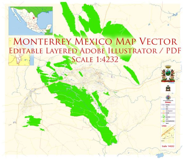
Monterrey, the capital and largest city of the northeastern state of Nuevo León in Mexico, is situated in a mountainous region with several waterways, bridges, and main streets contributing to its urban landscape. Vectormap.Net provide you with the most accurate and up-to-date vector maps in Adobe Illustrator, PDF and other formats, designed for editing and printing. Please read the vector map descriptions carefully.
Waterways:
- Santa Catarina River: The Santa Catarina River flows through the western part of Monterrey. It plays a significant role in the city’s geography and is bordered by parks and recreational areas.
Bridges:
- Puente de la Unidad (Bridge of Unity): Also known as the Puente Atirantado, this iconic cable-stayed bridge spans the Santa Catarina River, connecting San Pedro Garza García with Monterrey. It’s one of the most recognizable landmarks in the city.
- Puente Zaragoza: This bridge crosses the Santa Catarina River, connecting the neighborhoods of Monterrey and Guadalupe.
- Puente Benito Juárez: Located in the southern part of the city, this bridge crosses the Santa Catarina River and connects Monterrey with the municipality of San Pedro Garza García.
Main Streets:
- Avenida Constitución: This is one of Monterrey’s main thoroughfares, running east-west through the city. It passes through the downtown area and is lined with shops, restaurants, and various businesses.
- Avenida Morones Prieto: Running from north to south, Avenida Morones Prieto is an important avenue that connects different parts of the city, including San Nicolás de los Garza and San Pedro Garza García.
- Calzada San Pedro: This street is located in the affluent San Pedro Garza García municipality and is known for its upscale shops, restaurants, and residential areas.
- Avenida Eugenio Garza Sada: This avenue is named after Eugenio Garza Sada, a prominent businessman, and it is a key route in the city, passing through the San Jerónimo neighborhood.
- Avenida Gonzalitos: Connecting various neighborhoods in Monterrey, Avenida Gonzalitos is an important north-south artery, hosting commercial, residential, and educational establishments.
These descriptions provide a snapshot of Monterrey’s key waterways, bridges, and main streets. However, urban landscapes are dynamic, and ongoing developments or changes in infrastructure may have occurred since my last update.


 Author: Kirill Shrayber, Ph.D. FRGS