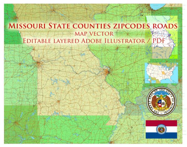
Missouri is a state located in the Midwestern region of the United States. It is known for its diverse geography, which includes rolling hills, plains, and numerous rivers. Here are descriptions of some of the principal cities, waterways, and main roads in Missouri:
Principal Cities:
- St. Louis:
- Description: St. Louis is a major city along the Mississippi River and is known for its iconic Gateway Arch. It has a rich cultural history, including the historic Soulard neighborhood and the St. Louis Art Museum in Forest Park.
- Kansas City:
- Description: Situated on the western edge of the state, Kansas City is known for its vibrant jazz scene, barbecue cuisine, and fountains. The city straddles the Missouri River and has a mix of modern and historic districts.
- Springfield:
- Description: Located in the southwestern part of the state, Springfield is known for its natural beauty, including parks and gardens. It is the third-largest city in Missouri and has a mix of cultural attractions and outdoor activities.
- Columbia:
- Description: Home to the University of Missouri, Columbia is a college town with a lively atmosphere. The city is situated in central Missouri and offers a mix of educational and recreational opportunities.
- Jefferson City:
- Description: As the capital of Missouri, Jefferson City is located on the Missouri River. It has a historic downtown area, including the Missouri State Capitol building.
Waterways:
- Mississippi River:
- Description: The eastern border of Missouri is defined by the mighty Mississippi River, one of the longest rivers in the world. It has played a crucial role in the state’s history, serving as a major transportation route.
- Missouri River:
- Description: Flowing across the state from west to east, the Missouri River is the longest river in North America. It has been important for trade, transportation, and historically significant explorations.
- Lake of the Ozarks:
- Description: This large reservoir in central Missouri is a popular destination for boating, fishing, and water recreation. It is one of the largest man-made lakes in the United States.
Main Roads:
- Interstate 70 (I-70):
- Description: Running east-west across the state, I-70 is a major interstate highway connecting St. Louis and Kansas City. It is a primary route for cross-country travel.
- Interstate 44 (I-44):
- Description: Stretching from St. Louis to the southwestern part of the state, I-44 is a key east-west interstate, passing through Springfield and connecting with other major highways.
- U.S. Route 61:
- Description: Following the course of the Mississippi River, U.S. 61 is a scenic highway that passes through towns like Hannibal and Cape Girardeau.
- U.S. Route 50:
- Description: Running across the state from east to west, U.S. 50 is a major route that passes through Jefferson City and Sedalia.
These descriptions provide a snapshot of some of the key features in Missouri, highlighting its cities, waterways, and major roadways.
Vectormap.Net provide you with the most accurate and up-to-date vector maps in Adobe Illustrator, PDF and other formats, designed for editing and printing. Please read the vector map descriptions carefully.


 Author: Kirill Shrayber, Ph.D. FRGS