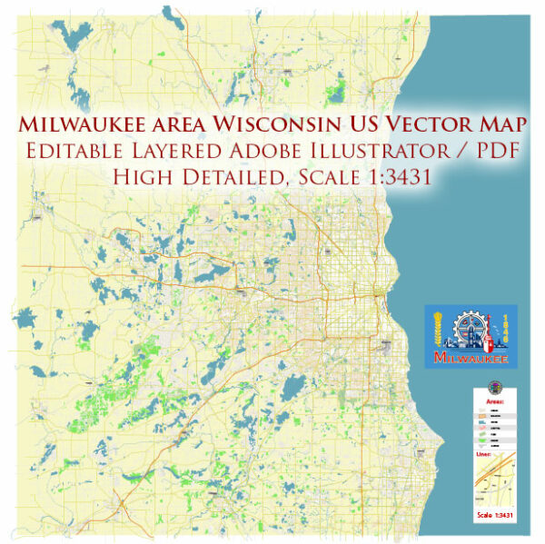
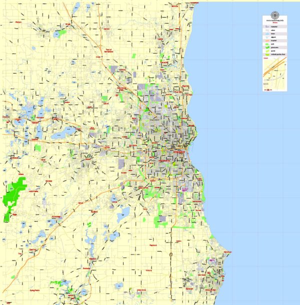
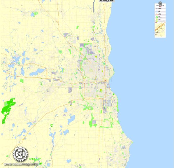
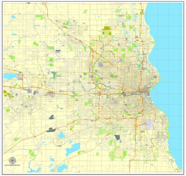
Milwaukee, Wisconsin, is a city situated on the western shore of Lake Michigan. It is known for its rich industrial history, cultural attractions, and vibrant neighborhoods. The city is traversed by several key waterways, bridges, and main streets that contribute to its urban landscape.
Vectormap.Net provide you with the most accurate and up-to-date vector maps in Adobe Illustrator, PDF and other formats, designed for editing and printing. Please read the vector map descriptions carefully.
Waterways:
- Milwaukee River: This river runs through the heart of the city, dividing it into the East Side and West Side. The Milwaukee Riverwalk along its banks is a popular area with shops, restaurants, and recreational spaces.
- Menomonee River: Another significant river in Milwaukee, the Menomonee River flows into the Milwaukee River near downtown. The Menomonee Valley, through which the river passes, has undergone significant redevelopment in recent years.
- Kinnickinnic River: This river flows into Lake Michigan and has a watershed covering a substantial part of the city’s south side.
Bridges:
- Hoan Bridge: This distinctive bridge spans the Milwaukee River and connects the city’s downtown area with the Bay View neighborhood. It is a prominent feature of the city’s skyline.
- Daniel Hoan Memorial Bridge: Commonly referred to as the Hoan Bridge, it offers panoramic views of the city and Lake Michigan. It is a cable-stayed bridge that is not only functional but also architecturally significant.
- High Rise Bridge: Also known as the Wisconsin Avenue Lift Bridge, it spans the Milwaukee River and is known for its vertical lift mechanism to accommodate boat traffic.
Main Streets:
- Wisconsin Avenue: One of the primary east-west thoroughfares in Milwaukee, Wisconsin Avenue cuts through the heart of downtown. It is lined with shops, offices, and cultural institutions.
- Water Street: Parallel to the Milwaukee River, Water Street is a popular entertainment district with numerous bars, restaurants, and nightclubs.
- North Avenue: Running east-west, North Avenue is known for its diverse neighborhoods and commercial districts, connecting the east side to the west side of the city.
- Brady Street: Located on the city’s east side, Brady Street is a lively area with a mix of shops, restaurants, and historic architecture.
These waterways, bridges, and main streets contribute to the character and accessibility of Milwaukee, providing residents and visitors with a diverse and vibrant urban experience. The city’s commitment to revitalization and development has transformed many of these areas into hubs of culture and commerce.
Vectormap.Net provide you with the most accurate and up-to-date vector maps in Adobe Illustrator, PDF and other formats, designed for editing and printing. Please read the vector map descriptions carefully.

 Author: Kirill Shrayber, Ph.D.