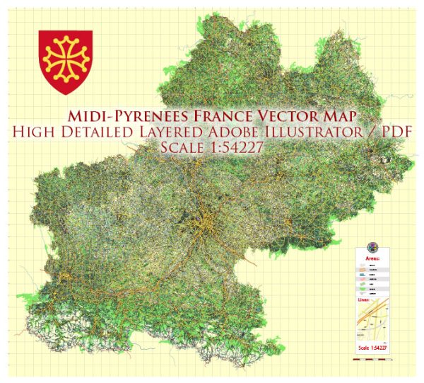
Midi-Pyrénées was a former administrative region in southwestern France. Note that administrative regions in France were reorganized, and as of 1 January 2016, Midi-Pyrénées became part of the larger region called Occitanie. Here is some information about the principal cities, waterways, and main roads in the Midi-Pyrénées region, which is now part of Occitanie:
- Principal Cities:
- Toulouse: The capital of the region, known for its aerospace industry, historical architecture, and cultural attractions.
- Montauban: A historic city known for its medieval buildings and museums.
- Albi: Famous for its impressive cathedral and historic center, which is a UNESCO World Heritage site.
- Tarbes: Located in the foothills of the Pyrenees, known for its gardens, parks, and historical sites.
- Waterways:
- Garonne River: The Garonne River is a major waterway in the region, flowing through Toulouse and playing a significant role in the geography and economy of the area.
- Main Roads:
- A61: A major autoroute (highway) connecting Toulouse to Narbonne and the Mediterranean coast.
- A62: Links Toulouse to Bordeaux, providing a major route towards the west.
- A64: Connects Toulouse to the Pyrenees and Spain, passing through Tarbes and Pau.
- N20: A national highway running through the region, connecting Toulouse to the Spanish border and Andorra.
- D roads: The region has an extensive network of departmental roads (Routes Départementales) connecting towns and villages.
Vectormap.Net provide you with the most accurate and up-to-date vector maps in Adobe Illustrator, PDF and other formats, designed for editing and printing. Please read the vector map descriptions carefully.


 Author: Kirill Shrayber, Ph.D. FRGS