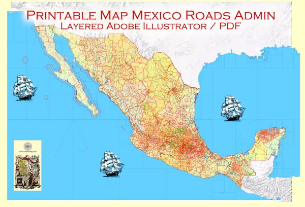
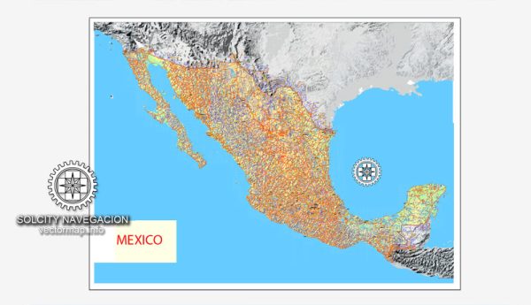
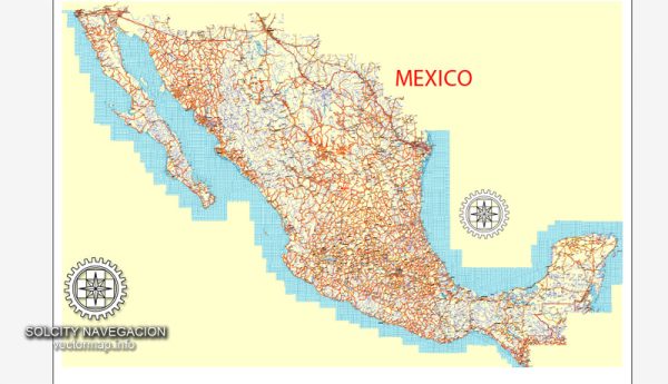
Information about some of Mexico’s principal cities, waterways, and main roads. Vectormap.Net provide you with the most accurate and up-to-date vector maps in Adobe Illustrator, PDF and other formats, designed for editing and printing. Please read the vector map descriptions carefully. Here’s a general overview:
Principal Cities:
- Mexico City (Ciudad de México): The capital and largest city of Mexico, located in the Valley of Mexico. It is a major cultural, economic, and political hub.
- Guadalajara: Located in the western part of the country, Guadalajara is the capital of the state of Jalisco and is known for its rich cultural heritage.
- Monterrey: Situated in the northern part of Mexico, Monterrey is the capital of the state of Nuevo León. It is an important industrial and business center.
- Puebla: Found southeast of Mexico City, Puebla is known for its well-preserved colonial architecture and is a UNESCO World Heritage Site.
- Tijuana: Located on the U.S.-Mexico border in the state of Baja California, Tijuana is a major border city known for its economic and cultural ties with the United States.
Waterways:
- Rio Grande (Río Bravo): Forms part of the natural border between Mexico and the United States.
- Gulf of Mexico: Mexico has a significant coastline along the Gulf of Mexico, providing access to important ports such as Veracruz.
- Pacific Ocean: The western coast of Mexico is bordered by the Pacific Ocean, with major ports such as Acapulco and Manzanillo.
Main Roads:
- Pan-American Highway: A network of roads that stretches from Prudhoe Bay in Alaska to Ushuaia in Argentina, passing through Mexico. It is a vital transportation route.
- Mexican Federal Highways (Carreteras Federales): Mexico has an extensive network of federal highways connecting major cities and regions.
- Autopista (Toll Roads): Mexico has a network of toll roads (autopistas) that connect major cities and regions, providing faster and well-maintained routes.
- Circuito Exterior Mexiquense: A modern highway that encircles Mexico City, easing traffic congestion.
It’s recommended to check for the latest information from local sources or official transportation departments for the most up-to-date details on cities, waterways, and roads in Mexico.


 Author: Kirill Shrayber, Ph.D. FRGS