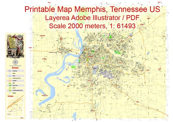
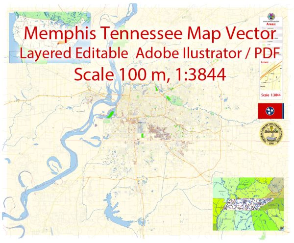
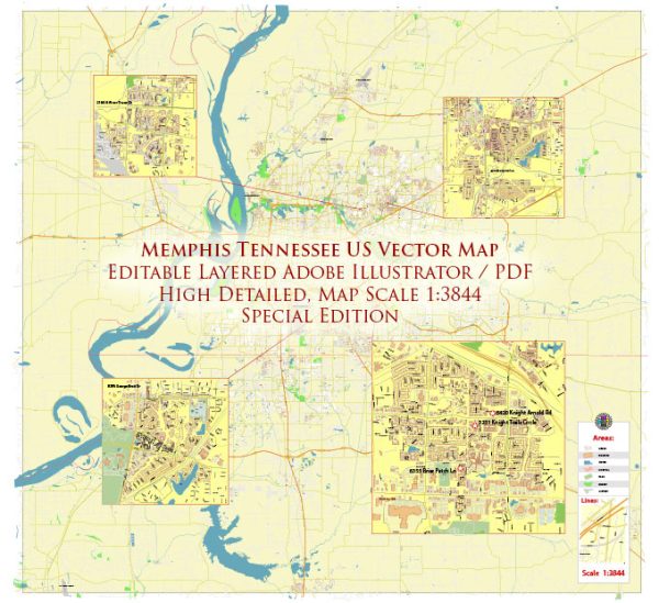
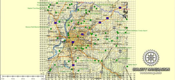
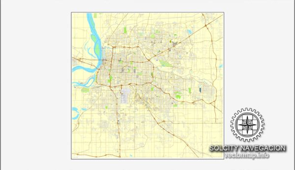
Memphis, Tennessee, is a city located along the Mississippi River in the southwestern part of the state. It is known for its rich cultural history, vibrant music scene, and strategic location as a transportation hub. Here’s an overview of some of the principal waterways, bridges, and main streets in Memphis:
Waterways:
- Mississippi River: Memphis is situated along the eastern bank of the Mississippi River, one of the longest rivers in North America. The river plays a crucial role in the city’s history and serves as a major transportation route.
Bridges:
- Hernando de Soto Bridge: Also known simply as the “M Bridge,” this iconic bridge spans the Mississippi River, connecting Memphis, Tennessee, with West Memphis, Arkansas. It is a vital transportation link for both cities.
Main Streets:
- Beale Street: A historic street in downtown Memphis, Beale Street is famous for its vibrant nightlife, blues music, and cultural attractions. It is lined with clubs, restaurants, and shops, making it a popular destination for both locals and tourists.
- Union Avenue: This street runs east-west through downtown Memphis and is known for its historical significance. Union Avenue is home to various businesses, hotels, and landmarks, including the historic Sun Studio where legendary musicians like Elvis Presley recorded.
- Poplar Avenue: A major east-west thoroughfare, Poplar Avenue is a commercial and business district with a mix of shops, restaurants, and offices. It extends across the city and is a significant route for commuters.
- Second Street: Located in downtown Memphis, Second Street is part of the historic district and features a variety of shops, galleries, and restaurants. It runs parallel to the Mississippi River and is close to attractions like the National Civil Rights Museum.
- Riverside Drive: Running along the western edge of downtown Memphis, Riverside Drive offers scenic views of the Mississippi River. It is a popular route for pedestrians and cyclists and is home to various parks and event spaces.
These are just a few of the notable waterways, bridges, and main streets in Memphis. The city’s layout and infrastructure reflect its historical and cultural significance in the region.
Vectormap.Net provide you with the most accurate and up-to-date vector maps in Adobe Illustrator, PDF and other formats, designed for editing and printing. Please read the vector map descriptions carefully.

 Author: Kirill Shrayber, Ph.D.