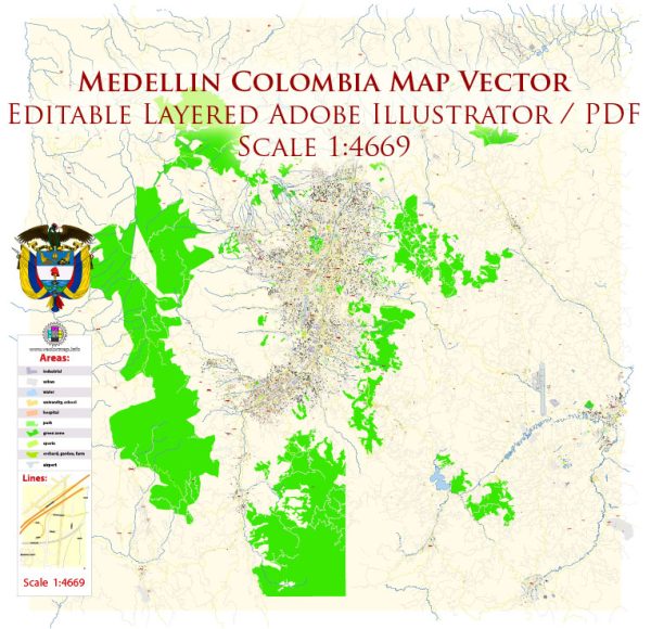
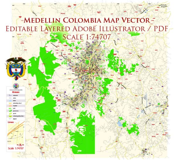
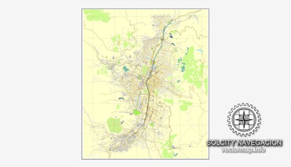
Some information about Medellín, Colombia’s principal waterways, bridges, and main streets. Vectormap.Net provide you with the most accurate and up-to-date vector maps in Adobe Illustrator, PDF and other formats, designed for editing and printing. Please read the vector map descriptions carefully.
Waterways:
- Medellín River (Río Medellín): The river flows through the city and has been a historically significant waterway. It is a tributary of the Cauca River.
Bridges:
- Puente de la Madre Laura: This bridge is named after Laura Montoya Upegui, a Colombian saint, and is one of the iconic bridges in Medellín.
- Puente de Guayaquil: This bridge crosses the Medellín River and is an important transportation link in the city.
- Puente de la 4 Sur: This is another notable bridge that spans the river and facilitates traffic in the southern part of the city.
Main Streets:
- Avenida El Poblado: A major avenue in the city, it runs through the El Poblado neighborhood, one of the more upscale areas of Medellín.
- Carrera 70 (Avenida Laureles): This avenue is a central road in the Laureles neighborhood and is known for its vibrant atmosphere, with many shops, restaurants, and entertainment options.
- Avenida Oriental: Located in the eastern part of the city, Avenida Oriental is an important thoroughfare connecting various neighborhoods.
- Calle 10 (La Playa): La Playa is a historic street in the city center, and Calle 10 is one of its main sections. It is known for its cultural and historical significance.
Please note that this is not an exhaustive list, and there are many other streets, avenues, and bridges in Medellín that contribute to the city’s infrastructure. Additionally, urban development projects and changes may have occurred since my last update. For the most accurate and up-to-date information, it’s recommended to consult local sources or official city maps.


 Author: Kirill Shrayber, Ph.D. FRGS