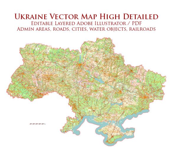
Some of the principal cities, waterways, and main roads in Ukraine. Vectormap.Net provide you with the most accurate and up-to-date vector maps in Adobe Illustrator, PDF and other formats, designed for editing and printing. Please read the vector map descriptions carefully.
Principal Cities:
- Kyiv (Kiev): The capital and largest city of Ukraine, situated in the north-central part of the country on the Dnieper River.
- Kharkiv: Located in the northeast, Kharkiv is the second-largest city in Ukraine and an important industrial and cultural center.
- Odesa (Odessa): A major seaport on the Black Sea, Odesa is known for its historic architecture, cultural diversity, and maritime importance.
- Lviv: Located in the western part of Ukraine, Lviv is a cultural and historical hub with well-preserved architecture from different periods.
- Dnipro (Dnipropetrovsk): Situated on the Dnieper River, Dnipro is an important industrial city in the central part of Ukraine.
Waterways:
- Dnieper River: The Dnieper is the longest river in Ukraine, flowing from north to south, passing through major cities such as Kyiv and Dnipro before emptying into the Black Sea.
- Dniester River: This river flows in the western part of Ukraine, passing through cities like Ivano-Frankivsk and Ternopil, and eventually reaching the Black Sea.
- Southern Bug River: Flowing through the western and central parts of Ukraine, the Southern Bug River is a tributary of the Dnieper.
- Black Sea: The Black Sea, located to the south of Ukraine, is a significant body of water and a major economic and strategic asset for the country.
Main Roads:
- M (International/European routes): Ukraine has an extensive network of international and national roads, and the M-roads connect major cities. For example, the M-01 connects Kyiv and Odesa.
- E (European routes): European routes also pass through Ukraine, connecting it with neighboring countries. For instance, the E40 runs from Calais, France, to Ridder, Kazakhstan, passing through Kyiv.
Please check the latest sources for the most up-to-date information on cities, waterways, and roads in Ukraine, as developments may have occurred since my last update.


 Author: Kirill Shrayber, Ph.D. FRGS