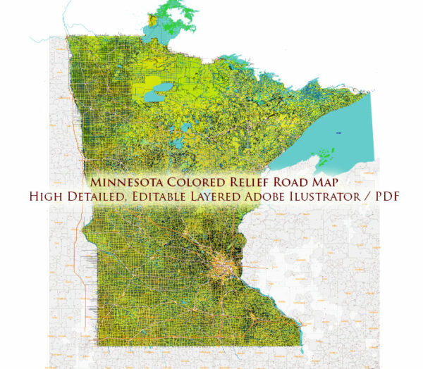
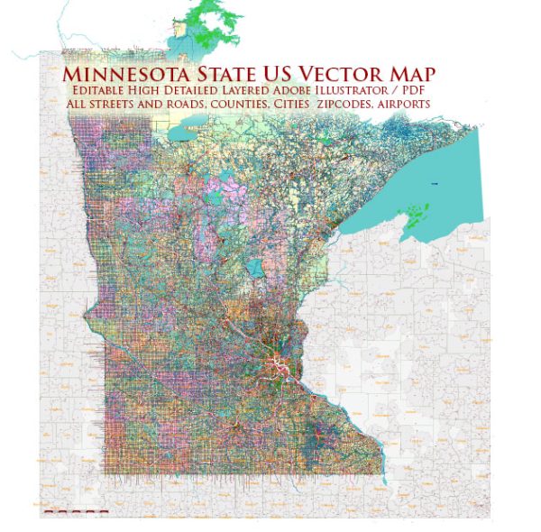
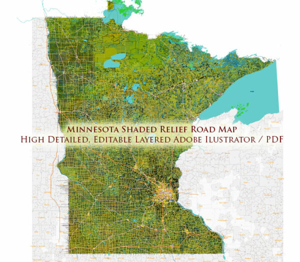
Minnesota, located in the northern part of the United States, is known for its diverse geography, numerous lakes, and extensive road network. Here’s a description of some of the principal cities, major waterways, and main roads in the state:
Principal Cities:
- Minneapolis: The largest city in Minnesota, part of the Twin Cities metropolitan area. Known for its cultural attractions, parks, and the Mall of America.
- St. Paul: The state capital and the second-largest city, also part of the Twin Cities. It’s known for its historic architecture, government institutions, and cultural events.
- Duluth: Located on the shores of Lake Superior, Duluth is a major port city and a gateway to the Great Lakes. It is known for its scenic beauty, including the Aerial Lift Bridge and Canal Park.
- Rochester: Home to the Mayo Clinic, Rochester is a major medical and technological hub in the state.
- Bloomington: Home to the Mall of America, one of the largest shopping malls in the country.
Major Waterways:
- Mississippi River: Flows through the southeastern part of the state, forming part of its border with Wisconsin. It’s a major transportation route and offers recreational opportunities.
- Minnesota River: Flows from west to east, joining the Mississippi River south of the Twin Cities. It passes through Mankato and provides scenic views and recreational activities.
- Lake Superior: The largest of the Great Lakes, it forms part of Minnesota’s northeastern border. It’s known for its size, depth, and scenic shoreline.
- Red River of the North: Forms part of the western border with North Dakota, flowing northward. It’s a significant river for the region’s agriculture and commerce.
Main Roads:
- Interstate 94 (I-94): Connects the Twin Cities to Fargo, North Dakota, and points east. A major east-west route.
- Interstate 35 (I-35): Runs north-south, connecting the Twin Cities to Duluth in the north and Iowa in the south.
- U.S. Route 169: Connects the southern suburbs of the Twin Cities to the Iron Range in the north, passing through cities like Mankato and St. Peter.
- Highway 61: Runs along the eastern border of the state, offering scenic views of the Mississippi River and connecting cities like Duluth and Red Wing.
- I-494 and I-694: Beltways around the Twin Cities, providing convenient routes for local and interstate travel.
These are just a few highlights, and Minnesota’s road network is extensive, connecting its various regions and providing access to its natural beauty and urban centers.
Vectormap.Net provide you with the most accurate and up-to-date vector maps in Adobe Illustrator, PDF and other formats, designed for editing and printing. Please read the vector map descriptions carefully.


 Author: Kirill Shrayber, Ph.D. FRGS