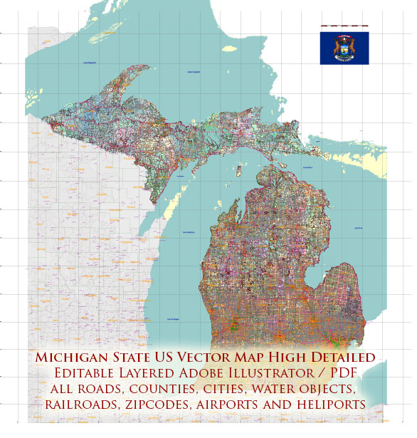
Michigan is a state located in the Great Lakes region of the United States. It is known for its diverse geography, including lakes, forests, and urban areas. Here are some of the main cities and notable roads in Michigan:
Main Cities:
- Detroit:
- Detroit is the largest city in Michigan and is known as the “Motor City” due to its historical association with the automotive industry.
- It is a major cultural and economic hub, home to museums, sports teams, and a vibrant music scene.
- Notable attractions include the Detroit Institute of Arts, Motown Museum, and the Detroit Riverwalk.
- Grand Rapids:
- Located on the western side of the state, Grand Rapids is known for its art scene, craft breweries, and outdoor recreation.
- The Frederik Meijer Gardens & Sculpture Park and the Gerald R. Ford Presidential Museum are popular attractions.
- Lansing:
- Lansing is the capital city of Michigan and is situated in the central part of the state.
- The Michigan State Capitol and the Impression 5 Science Center are among the key landmarks in the city.
- Ann Arbor:
- Ann Arbor is home to the University of Michigan and is known for its intellectual and cultural environment.
- The city hosts numerous events, including the famous Ann Arbor Art Fair, and has a lively downtown area.
- Flint:
- Flint is historically known for its ties to the automotive industry and has faced challenges related to water quality in recent years.
- Despite challenges, efforts are ongoing to revitalize the city and its infrastructure.
Main Roads:
- Interstate 75 (I-75):
- A major north-south interstate that runs through Detroit and Flint, connecting Michigan to Florida in the south.
- Interstate 94 (I-94):
- An east-west interstate that passes through Detroit and Ann Arbor, connecting Michigan to Chicago in the west.
- Interstate 96 (I-96):
- An east-west interstate that spans from Detroit through Lansing and Grand Rapids.
- M-10 (Lodge Freeway):
- Connects downtown Detroit with the northern suburbs and is a key route for commuters.
- M-14:
- Connects Ann Arbor to the western suburbs of Detroit.
- I-69:
- An interstate that runs from the Michigan-Indiana border in the southwest to the eastern part of the state.
These are just a few examples, and Michigan has an extensive network of state and local roads connecting its cities and regions. The state’s geography, with the Great Lakes and abundant natural resources, contributes to its importance in transportation, industry, and recreation.


 Author: Kirill Shrayber, Ph.D. FRGS