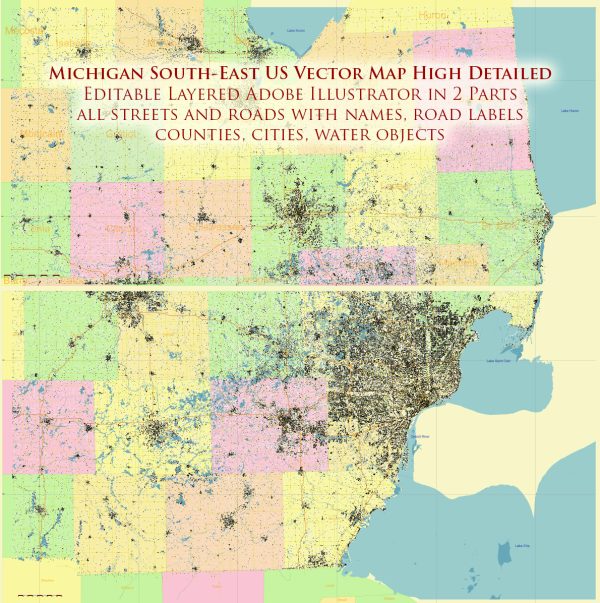
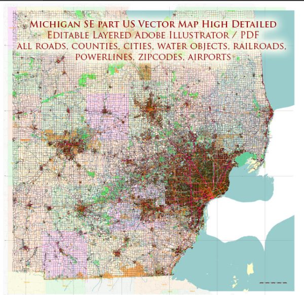
The southeastern part of Michigan, United States, is home to several principal cities, important waterways, and main roads. Here’s a brief description of some key elements in this region:
Vectormap.Net provide you with the most accurate and up-to-date vector maps in Adobe Illustrator, PDF and other formats, designed for editing and printing. Please read the vector map descriptions carefully.
Principal Cities:
- Detroit:
- Detroit is the largest city in Michigan and a major cultural and economic hub.
- Known as the “Motor City” due to its historical significance in the automotive industry.
- Home to several iconic landmarks, including the Renaissance Center and the Detroit Institute of Arts.
- Ann Arbor:
- Home to the University of Michigan, a prestigious public research university.
- Known for its vibrant arts scene, cultural events, and diverse dining options.
- Dearborn:
- Ford Motor Company’s world headquarters is located in Dearborn.
- The city has a rich industrial history and is home to the Henry Ford Museum and Greenfield Village.
- Livonia:
- A large suburb with a mix of residential, commercial, and industrial areas.
- Known for its parks, schools, and community events.
Waterways:
- Detroit River:
- Connects Lake St. Clair and Lake Erie, forming part of the international border between the United States and Canada.
- A vital shipping channel and a popular area for recreational boating.
- Lake St. Clair:
- Located between Lake Huron and Lake Erie.
- Offers boating, fishing, and recreational opportunities.
Main Roads:
- Interstate 94 (I-94):
- Connects Detroit to Chicago, running west-east through the region.
- Interstate 75 (I-75):
- A major north-south freeway connecting Detroit to Toledo and beyond.
- Interstate 96 (I-96):
- Runs from Detroit westward through the state.
- M-14:
- Connects Ann Arbor to the western suburbs of Detroit.
- M-10 (Lodge Freeway):
- Runs from downtown Detroit to the northwest suburbs.
- M-39 (Southfield Freeway):
- Connects Detroit to the western suburbs.
- M-8 (Davison Freeway):
- Connects downtown Detroit to the northwest.
These cities, waterways, and main roads collectively contribute to the economic, cultural, and recreational significance of southeastern Michigan. The region has a rich history, especially in the automotive industry, and continues to be a dynamic and diverse area.


 Author: Kirill Shrayber, Ph.D. FRGS