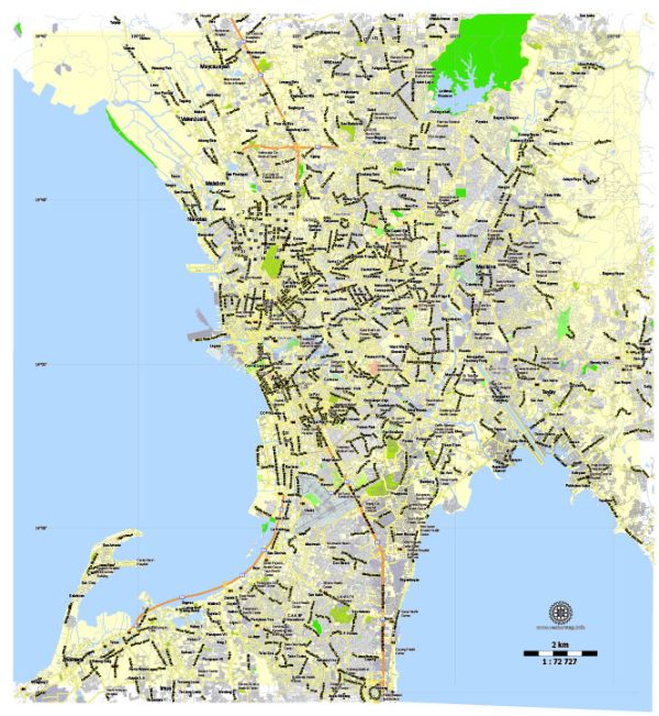
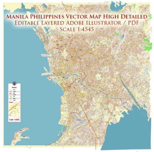
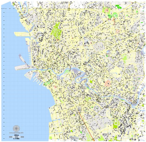
Information about some of the principal waterways, bridges, and main streets in Manila, Philippines. Vectormap.Net provide you with the most accurate and up-to-date vector maps in Adobe Illustrator, PDF and other formats, designed for editing and printing. Please read the vector map descriptions carefully. Here’s a brief overview:
Principal Waterways:
- Pasig River: Pasig River is a historic and significant waterway in Manila. It runs through the heart of the city and has been a crucial transportation route for centuries.
Bridges:
- Jones Bridge: This iconic bridge spans the Pasig River and connects Binondo and Ermita. It is known for its neoclassical design and historical significance.
- Quezon Bridge: Another important bridge across the Pasig River, connecting Quiapo and Ermita. It is named after the second President of the Philippines, Manuel L. Quezon.
- Ayala Bridge: This bridge connects the districts of San Miguel and Ermita and plays a crucial role in the road network of Manila.
Main Streets:
- Roxas Boulevard: A scenic boulevard that runs along Manila Bay. It is known for its beautiful sunset views and is lined with hotels, restaurants, and parks.
- Taft Avenue: Taft Avenue is a major thoroughfare that extends from Ermita to Pasay. It is home to several educational institutions, government offices, and commercial establishments.
- España Boulevard: Connecting the districts of Sampaloc and Quezon City, España Boulevard is a busy street lined with universities, commercial establishments, and residential areas.
- Quezon Avenue: Running through Quezon City, this avenue is a major commercial and entertainment hub with shopping malls, restaurants, and nightlife establishments.
It’s important to note that Manila is a dynamic city, and urban development may lead to changes in infrastructure. New projects and improvements may have been implemented since my last update. To get the most accurate and current information, consider checking with local sources or official city websites.


 Author: Kirill Shrayber, Ph.D. FRGS