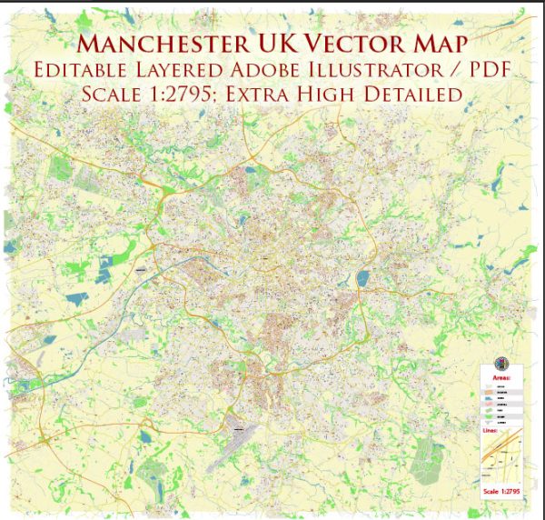
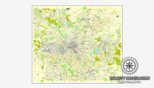
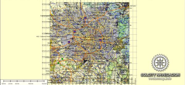
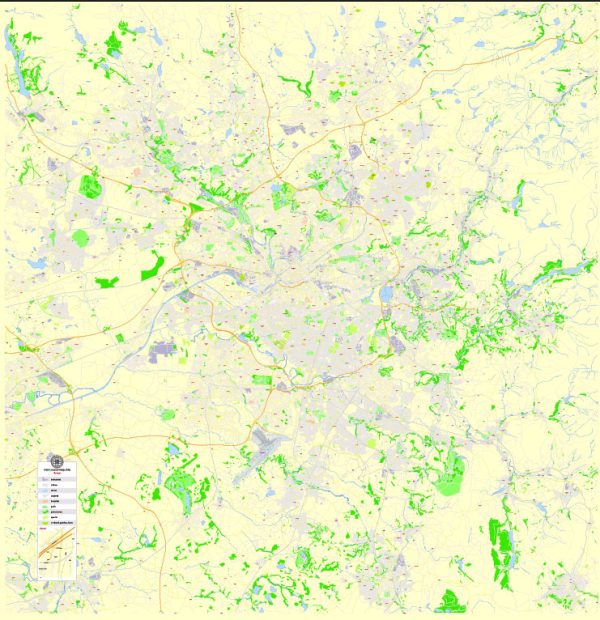
Manchester, located in the northwest of England, is a vibrant and historically significant city with several principal waterways, bridges, and main streets that contribute to its unique character.
Vectormap.Net provide you with the most accurate and up-to-date vector maps in Adobe Illustrator, PDF and other formats, designed for editing and printing. Please read the vector map descriptions carefully.
Waterways:
- River Irwell:
- The River Irwell flows through Manchester, dividing the city into Salford to the west and Manchester to the east. It has played a crucial role in the industrial history of the region.
- Bridgewater Canal:
- This historic canal, opened in 1761, was one of the first artificial canals in Britain. It runs through the city center and has picturesque towpaths, offering a scenic route for walks and bike rides.
Bridges:
- Manchester Ship Canal Swing Bridges:
- The Manchester Ship Canal, a major navigation route, features several swing bridges to accommodate maritime traffic. These include bridges like the Trafford Road Swing Bridge and Barton Swing Aqueduct.
- Deansgate/Castlefield Viaducts:
- A series of viaducts and bridges in the Castlefield area, which was once an industrial hub. The area is now known for its canals, warehouses, and stylish bars and restaurants.
Main Streets:
- Deansgate:
- Deansgate is one of the main thoroughfares in Manchester, lined with shops, restaurants, and offices. It runs through the city center and is a key commercial and entertainment hub.
- Oxford Road:
- Known for its educational institutions, including the University of Manchester and Manchester Metropolitan University, Oxford Road is a major arterial route and a cultural hotspot with theaters, museums, and galleries.
- Market Street:
- A bustling pedestrianized street in the heart of Manchester’s shopping district, Market Street is lined with popular retail stores, making it a prime destination for shopping enthusiasts.
- Albert Square:
- Home to the iconic Manchester Town Hall, Albert Square is a central public space surrounded by significant buildings and statues. It often serves as a venue for events and celebrations.
- St. Peter’s Square:
- This square features the Central Library and the Midland Hotel, and it’s a transportation hub with access to trams and buses. The square underwent significant redevelopment in recent years.
Manchester’s urban landscape is dynamic, and ongoing regeneration projects contribute to its modern identity while preserving its rich industrial heritage. Exploring these waterways, bridges, and streets provides a glimpse into the city’s past and present. For the latest information, it’s advisable to check with local sources or city guides.


 Author: Kirill Shrayber, Ph.D.