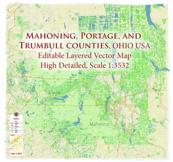
Illustrator Map — Mahoning Portage Trumbull Counties Ohio USA
An editable Illustrator map of Mahoning Portage Trumbull Counties Ohio USA designed as a dependable base for print and digital layouts. Crisp vectors preserve edges at high DPI and export compactly for web delivery. The file accepts custom grids, legends and callouts without redrawing base content. Contours and landuse layers can be toggled to match tourism or planning use cases. Coordinates and scales are prepared for sheet production and consistent exports. Layer structure separates arterials and locals, districts, hydrography, parks and landmarks.
Works well as an underlay for wayfinding, transport schemes and editorial layouts. Use it for visitor guides, city infographics, investment decks and municipal communications. The map integrates neatly with common DTP and GIS workflows. Keeps labels readable while allowing deep customization of routes and highlights.


 Author: Kirill Shrayber, Ph.D. FRGS