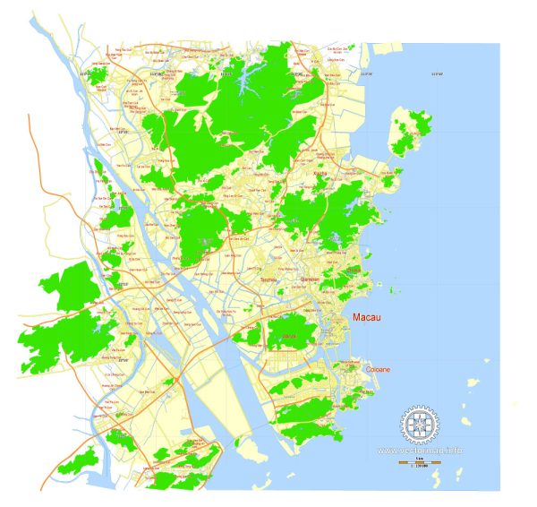
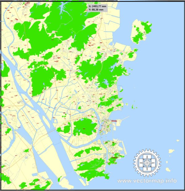
A general information about Macau’s principal waterways, bridges, and main streets. Vectormap.Net provide you with the most accurate and up-to-date vector maps in Adobe Illustrator, PDF and other formats, designed for editing and printing. Please read the vector map descriptions carefully.
Principal Waterways:
- Praia Grande Bay: Located on the southeast side of the Macau Peninsula, Praia Grande Bay is a significant water body in Macau.
- Nam Van Lake: This artificial lake is situated in the southern part of the Macau Peninsula and is surrounded by several landmarks and recreational areas.
- Inner Harbor: The Inner Harbor serves as a natural harbor for Macau and is an important waterway.
Bridges:
- Governor Nobre de Carvalho Bridge: Also known as the Macau-Taipa Bridge, it connects the Macau Peninsula to the Taipa Island.
- Sai Van Bridge: Linking the Macau Peninsula and Taipa Island, Sai Van Bridge is a cable-stayed bridge that offers a stunning view of the city.
- Friendship Bridge: Connecting Taipa Island and Coloane Island, the Friendship Bridge is another important bridge in Macau.
- Cotai Strip Bridges: The Cotai area, situated between Taipa and Coloane, features several bridges connecting the reclaimed land where many of Macau’s major resorts and casinos are located.
Main Streets:
- Avenida de Almeida Ribeiro (San Ma Lo): This is one of the main streets in the Macau Peninsula and is a popular shopping and commercial area.
- Avenida da Praia Grande: Located in the central business district, this avenue is known for its colonial architecture and is a major thoroughfare.
- Avenida Dr. Sun Yat-sen: Running along the waterfront on the Macau Peninsula, this avenue offers scenic views and is named after the founding father of the Republic of China.
- Cotai Strip: While not a single street, the Cotai Strip is a major area featuring a concentration of hotels, casinos, and entertainment venues. It includes streets such as Avenida de Cotai and Avenida da Nave Desportiva.
Keep in mind that urban development in Macau is dynamic, and new infrastructure projects may have been completed since my last update. For the most current and detailed information, it’s advisable to consult local maps, official tourism websites, or recent travel guides.


 Author: Kirill Shrayber, Ph.D.