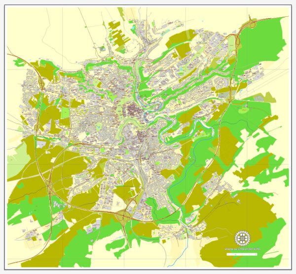
Luxembourg is a landlocked country in Western Europe, and it is known for its picturesque landscapes and historical sites. Luxembourg City, the capital, is situated in a valley surrounded by cliffs and is divided by the Alzette River. Here is a brief description of Luxembourg’s principal waterways, bridges, and main streets:
- Alzette River:
- The Alzette River flows through the heart of Luxembourg City, dividing the city into upper and lower parts. Several bridges cross the Alzette, connecting different quarters of the city.
- Petrusse River:
- Another significant waterway in Luxembourg City is the Petrusse River, a tributary of the Alzette. It flows through the Pétrusse Valley, providing a scenic backdrop to the historic city center.
- Bridges:
- Luxembourg City has several bridges spanning the Alzette and Petrusse rivers. Notable bridges include the Adolphe Bridge (Pont Adolphe), a distinctive arched bridge that has become an iconic symbol of the city. The Grand Duchess Charlotte Bridge is another important structure, connecting the Kirchberg plateau with the city center.
- Main Streets:
- Grand Rue: This is one of the main streets in the heart of Luxembourg City, lined with shops, cafes, and historic buildings. It runs through the lower town and is a popular area for shopping and leisure.
- Avenue de la Liberté: This avenue is one of the major thoroughfares in the city and is known for its elegant architecture, shops, and businesses. It connects the central train station to the Place de la Constitution.
- Place d’Armes: A lively square surrounded by cafes and restaurants, located in the heart of the old town. It is a popular gathering place for locals and visitors alike.
- Kirchberg Plateau: While not a single street, the Kirchberg Plateau is a modern district with many important institutions, including the European Court of Justice and the European Investment Bank. Kirchberg is connected to the city center by various roads and bridges.
Please note that developments may have occurred since my last update, and it’s a good idea to check more recent sources for the latest information on Luxembourg’s infrastructure and urban features.
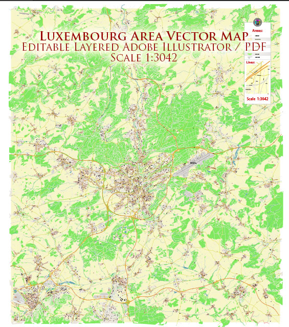
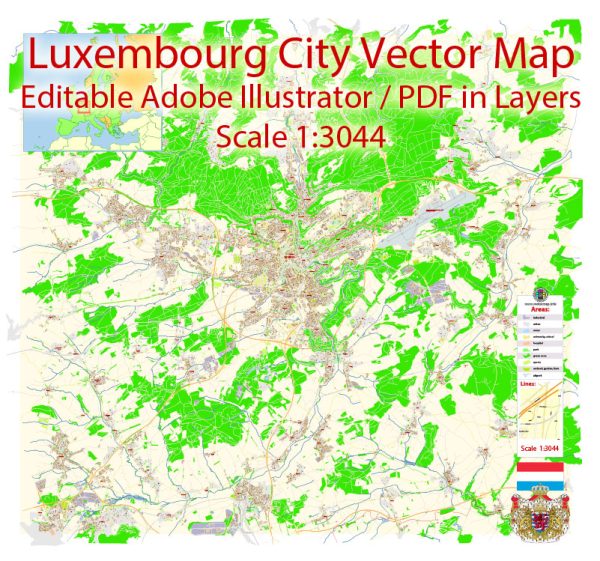
Vectormap.Net provide you with the most accurate and up-to-date vector maps in Adobe Illustrator, PDF and other formats, designed for editing and printing. Please read the vector map descriptions carefully.


 Author: Kirill Shrayber, Ph.D. FRGS