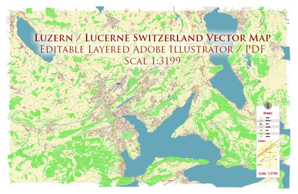
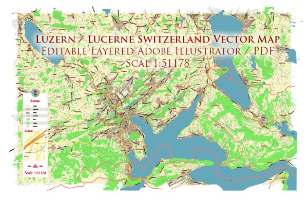
Lucerne, located in central Switzerland, is a picturesque city known for its stunning lakeside setting and well-preserved medieval architecture. The principal waterway in Lucerne is Lake Lucerne (Vierwaldstättersee), which is surrounded by the city on the northern shore. The Reuss River flows out of the lake, passing through the city before continuing its course.
Waterways:
- Lake Lucerne (Vierwaldstättersee): This large lake is a central feature of Lucerne, offering breathtaking views of the surrounding mountains, including the Swiss Alps.
- Reuss River: Flowing out of Lake Lucerne, the Reuss River divides the old town into two parts. The Chapel Bridge (Kapellbrücke) spans the river and is one of Lucerne’s most iconic landmarks.
Bridges:
- Chapel Bridge (Kapellbrücke): This is the oldest wooden covered bridge in Europe and a symbol of Lucerne. It spans the Reuss River diagonally, connecting the old town with the new town.
- Spreuer Bridge (Spreuerbrücke): Another historic wooden bridge, Spreuer Bridge is known for its medieval tower and the series of 67 paintings depicting the Dance of Death.
- Seebrücke: Translating to “Lake Bridge,” Seebrücke is a modern pedestrian bridge offering beautiful views of Lake Lucerne and the surrounding mountains.
Main Streets:
- Kapellgasse: This charming street runs through the old town and is lined with medieval buildings, shops, and cafes. It leads to the Chapel Bridge and the Water Tower.
- Hertensteinstrasse: Located along the shores of Lake Lucerne, this street offers scenic views of the lake and is dotted with lakeside promenades and parks.
- Schwanenplatz: This central square is a hub of activity, surrounded by shops, restaurants, and cafes. It’s a popular starting point for exploring the city.
- Pilatusstrasse: Connecting the old town with the new town, Pilatusstrasse is a bustling street with a mix of shops, hotels, and restaurants.
Lucerne’s cityscape is characterized by its well-preserved medieval architecture, with narrow cobblestone streets, colorful buildings, and charming squares. The combination of historic landmarks, waterfront scenery, and mountain views makes Lucerne a captivating destination in Switzerland.


 Author: Kirill Shrayber, Ph.D. FRGS