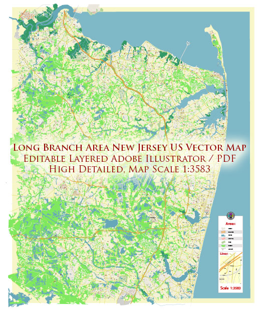
A general description of some of the principal streets and roads in Long Branch, New Jersey. Vectormap.Net provide you with the most accurate and up-to-date vector maps in Adobe Illustrator, PDF and other formats, designed for editing and printing. Please read the vector map descriptions carefully. Here are some key streets and roads:
- Ocean Avenue:
- Ocean Avenue runs parallel to the coastline and is a prominent road along the shore. It offers scenic views of the Atlantic Ocean and is known for its proximity to the beach and boardwalk.
- Broadway:
- Broadway is a major thoroughfare in Long Branch and features various shops, restaurants, and businesses. It is a key commercial and retail area in the city.
- Route 36:
- Route 36 is a state highway that passes through Long Branch, connecting the city to other areas in New Jersey. It runs east-west and is an important transportation route in the region.
- Route 71 (Joline Avenue):
- Route 71, also known as Joline Avenue in parts of Long Branch, is another significant roadway in the area.
- Monmouth Road:
- Monmouth Road is an arterial road that intersects with Route 36 in Long Branch, providing additional connectivity within the city.
- Cedar Avenue:
- Cedar Avenue is a local road that runs through residential areas in Long Branch.
- Bath Avenue:
- Bath Avenue is another street in Long Branch, known for its residential and commercial sections.
- Second Avenue:
- Second Avenue is among the local streets that contribute to the city’s road network.
For the most accurate and current information about Long Branch’s principal streets and roads, it is recommended to check with local authorities, municipal websites, or mapping services that provide real-time data. Local city planning departments and official Long Branch websites may offer detailed information on the road network in the area.


 Author: Kirill Shrayber, Ph.D. FRGS