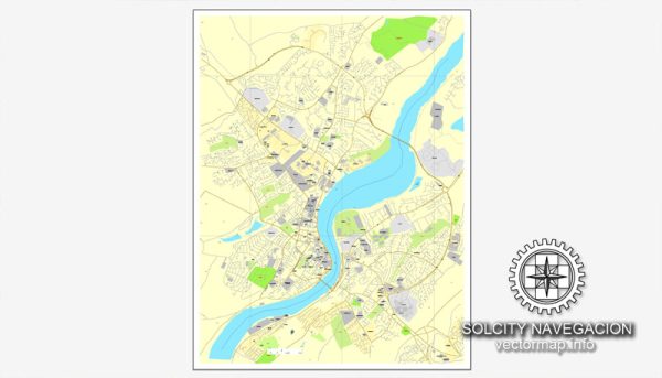
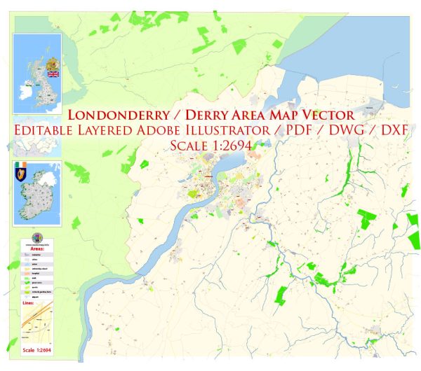
Londonderry, also known as Derry, is a city in Northern Ireland with a rich history and cultural significance. The city is located on the west bank of the River Foyle and is known for its well-preserved 17th-century city walls. Here’s a brief overview of the principal waterways, bridges, and main streets in Londonderry:
Waterways:
- River Foyle: The River Foyle is the main waterway that runs along the west side of the city. It is a significant river in Northern Ireland, and its banks provide a scenic setting for various activities.
Bridges:
- Craigavon Bridge: This is a prominent bridge that spans the River Foyle, connecting the Waterside area (east bank) with the Cityside area (west bank). The bridge is a double-deck structure, with vehicular traffic on the lower deck and a railway line on the upper deck.
- Peace Bridge: This iconic bridge is a pedestrian and cycle bridge that crosses the River Foyle, connecting Ebrington Square to the city center. The Peace Bridge is a symbol of unity and reconciliation in the city.
Main Streets:
- Shipquay Street: One of the principal streets in the city center, Shipquay Street is known for its historic architecture, shops, and restaurants. It runs parallel to the city walls and is a popular destination for both locals and visitors.
- Guildhall Street: This street is home to the Guildhall, a stunning neo-Gothic building that serves as the city’s civic headquarters. The Guildhall is an important cultural and historical landmark.
- Foyleside Shopping Centre: While not a street per se, Foyleside is a major shopping destination in the city. It features a variety of shops, restaurants, and entertainment options, making it a bustling hub for locals and tourists alike.
- Diamond Square: At the heart of the city, Diamond Square is a central gathering point surrounded by historic buildings, including the Guildhall. It is a focal point for events and activities in Derry.
These descriptions provide a snapshot of some key features in Londonderry. The city’s layout and landmarks contribute to its unique character and make it a fascinating destination for those interested in history, culture, and architecture.


 Author: Kirill Shrayber, Ph.D. FRGS