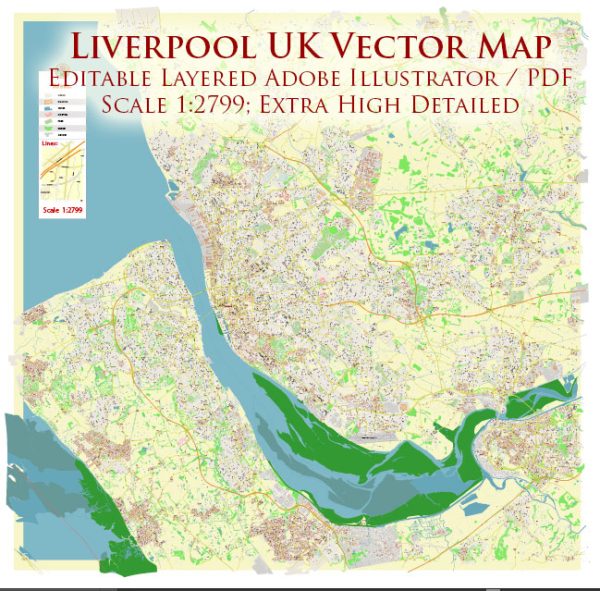
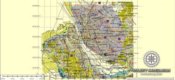
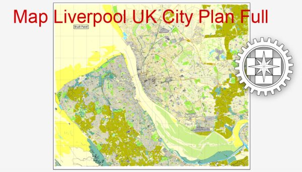
Liverpool, a city in northwest England, is known for its rich maritime history, cultural heritage, and vibrant urban environment. The city is home to numerous streets and roads, each with its own unique character and significance. We provide you with the most accurate and up-to-date vector maps in Adobe Illustrator, PDF and other formats, designed for editing and printing. Please read the vector map descriptions carefully. Some of the principal streets and roads in Liverpool:
- Hope Street: Often considered one of the most beautiful streets in the city, it connects the two cathedrals: Liverpool Cathedral and the Metropolitan Cathedral of Christ the King.
- Bold Street: A popular shopping and dining destination, known for its independent shops, cafes, and restaurants.
- Mathew Street: Famous for its association with The Beatles, this street is home to the Cavern Club, where the band performed in their early days.
- Church Street: One of the main shopping streets in Liverpool, featuring a variety of high street and department stores.
- Castle Street: Known for its historic architecture and a range of upscale restaurants and bars.
- Penny Lane: Immortalized by The Beatles in their song of the same name, Penny Lane is a suburban street with a mix of residential and commercial properties.
- Victoria Street: A vibrant street with a mix of restaurants, bars, and shops, connecting the waterfront to the commercial district.
- The Strand: A major road along the waterfront, offering views of the River Mersey and iconic landmarks like the Liver Building.
- Stanley Street: Located in the city’s LGBTQ+ quarter, this street is known for its lively nightlife and inclusive atmosphere.
- Smithdown Road: Running through the Wavertree and Allerton districts, this road is known for its student population, with a variety of shops, pubs, and cafes.
- Aigburth Road: Connecting the suburbs of Aigburth and Grassendale, this road features parks, residential areas, and access to the waterfront.
- Queens Drive: A major ring road encircling much of the city, providing access to various districts and connecting to major motorways.
These are just a few examples, and Liverpool has a network of streets and roads that weave through its diverse neighborhoods, offering a mix of historical, cultural, and contemporary experiences.


 Author: Kirill Shrayber, Ph.D. FRGS