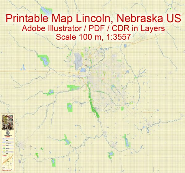
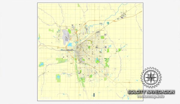
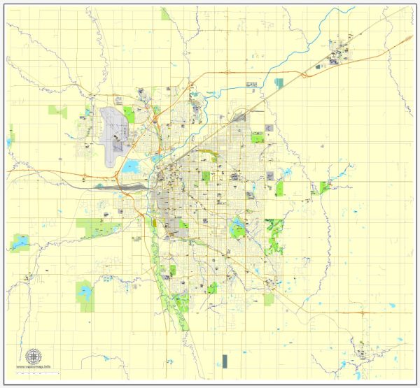
Some general information about Lincoln, Nebraska’s principal waterways, bridges, and main streets. We provide you with the most accurate and up-to-date vector maps in Adobe Illustrator, PDF and other formats, designed for editing and printing. Please read the vector map descriptions carefully.
Waterways:
- Salt Creek: This is one of the main waterways in Lincoln. It flows through the city and plays a significant role in its geography.
Bridges:
- Bob Devaney Sports Center Bridge: This bridge spans Salt Creek and connects the University of Nebraska-Lincoln’s City Campus with the Devaney Center and Haymarket Park.
- North 27th Street Bridge: Crossing Salt Creek, this bridge is an important transportation link on the northern side of the city.
- O Street Viaduct: While not a traditional bridge, the O Street Viaduct is a significant structure that spans the downtown area, providing a route for O Street traffic.
Main Streets:
- O Street (O St./Highway 34): O Street is one of the primary east-west thoroughfares in Lincoln, serving as a major commercial and retail corridor.
- P Street: Parallel to O Street, P Street is another important downtown street with a mix of businesses, restaurants, and entertainment venues.
- Holdrege Street: Running east-west, Holdrege Street is another major road in Lincoln, connecting different neighborhoods and commercial areas.
- 27th Street: Running north-south, 27th Street is a significant roadway, providing access to various residential and commercial areas.
- Cornhusker Highway (Highway 6): This highway serves as a major route on the northern side of Lincoln, connecting the city to other parts of Nebraska.
Please note that developments and changes may have occurred since my last update. For the most current and detailed information, it’s recommended to check with local authorities, city planning departments, or official maps of Lincoln, Nebraska.


 Author: Kirill Shrayber, Ph.D. FRGS