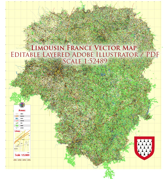
Limousin is a historical and cultural region located in central France. It is known for its picturesque landscapes, charming villages, and rich history. We provide you with the most accurate and up-to-date vector maps in Adobe Illustrator, PDF and other formats, designed for editing and printing. Please read the vector map descriptions carefully.
Principal Waterways in Limousin:
- Vienne River: The Vienne River is one of the major waterways in Limousin. It flows through the region, providing scenic views and contributing to the overall beauty of the landscape.
- Creuse River: Another significant river in Limousin is the Creuse. It meanders through the region, offering opportunities for outdoor activities and adding to the natural beauty.
Main Roads in Limousin:
Limousin is well-connected by a network of roads and highways, facilitating transportation within the region and to other parts of France. Some of the main roads include:
- A20 (Autoroute des Deux Mers): This major north-south highway passes through Limousin, connecting the cities of Vierzon and Montauban. It serves as a crucial route for both regional and long-distance travel.
- N141: This national road runs east-west through Limousin, connecting Limoges to the town of Châlus. It plays a vital role in local transportation.
- N145: Connecting Guéret to Saint-Sulpice-les-Champs, the N145 is another important road in the region, providing access to various towns and villages.
- D941: This departmental road runs through Limousin, connecting Limoges to Brive-la-Gaillarde. It serves as a key route for regional travel.
- D704: Connecting Limoges to Uzerche, the D704 is a local road that provides access to smaller towns and villages in the region.
Limousin’s road network is designed to make it easy for residents and visitors to explore the diverse landscapes and historical sites that the region has to offer.
Please keep in mind that infrastructure details may have changed, and it’s advisable to check for the latest information if you are planning to travel to or within Limousin.


 Author: Kirill Shrayber, Ph.D. FRGS