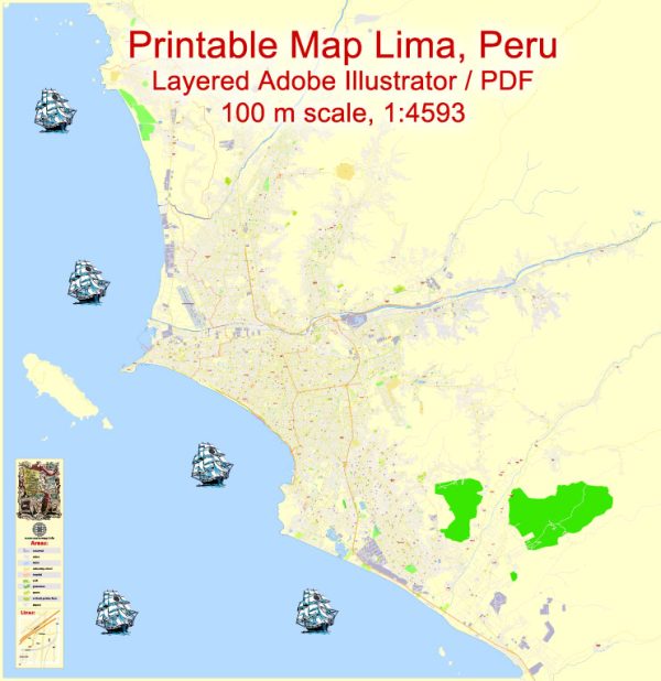
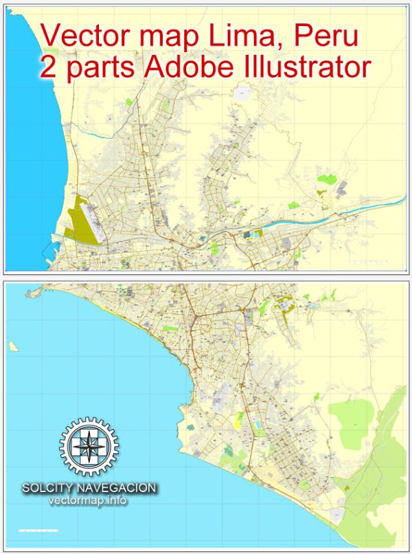
A general description of Lima, Peru’s principal waterways, bridges, and main streets. We provide you with the most accurate and up-to-date vector maps in Adobe Illustrator, PDF and other formats, designed for editing and printing. Please read the vector map descriptions carefully.
Waterways:
- Rimac River:
- The Rimac River is one of the most significant waterways in Lima, flowing from the Andes Mountains to the Pacific Ocean.
- It cuts through the city, and its basin is crucial for water supply and drainage.
Bridges:
- Puente de los Suspiros (Bridge of Sighs):
- Located in the Barranco district, this pedestrian bridge is an iconic symbol of Lima.
- It connects two parts of the Barranco district and offers a beautiful view of the surrounding area.
- Puente Villena:
- This bridge spans the Rimac River and connects the districts of San Juan de Lurigancho and El Agustino.
- It is an essential transportation link in eastern Lima.
Main Streets:
- Avenida Javier Prado:
- One of Lima’s major avenues, running from the district of Magdalena del Mar to the eastern districts.
- It is a commercial and financial hub, lined with businesses, offices, and shopping centers.
- Avenida Arequipa:
- A prominent avenue that runs from the Historic Center to the district of Miraflores.
- It passes through various neighborhoods and is known for its shops, restaurants, and cultural attractions.
- Jirón de la Unión:
- This historic street is located in Lima’s Historic Center and is a pedestrian-friendly area with shops, cafes, and historical buildings.
- Avenida Salaverry:
- A major avenue that connects the districts of Jesus Maria and San Isidro.
- It is known for its green spaces and is an important route for commuting.
- Avenida Larco:
- Situated in the district of Miraflores, Avenida Larco is a vibrant street with a mix of shops, restaurants, and entertainment options.
- It is popular among tourists and locals alike.
Please keep in mind that Lima is a dynamic city, and urban developments, as well as infrastructure projects, can lead to changes in the city’s layout. It’s advisable to consult the latest local sources or maps for the most accurate and up-to-date information.


 Author: Kirill Shrayber, Ph.D. FRGS