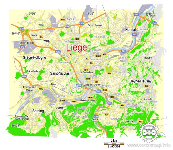
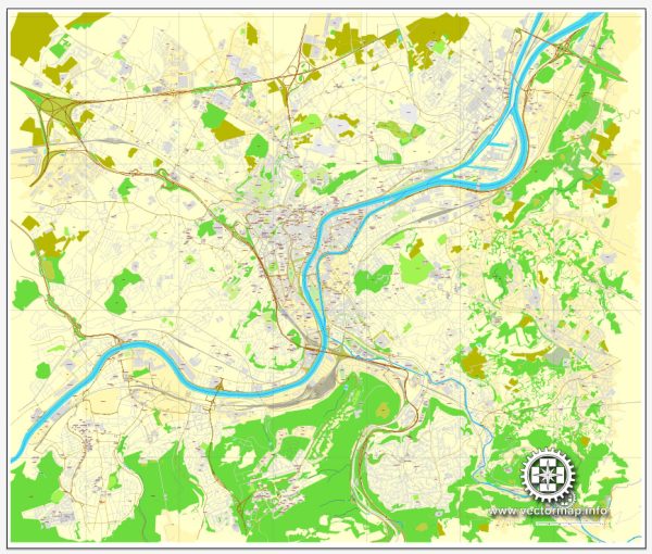
Liège, located in the French-speaking region of Wallonia in Belgium, is a city with a rich history and a network of waterways, bridges, and main streets. Here’s a general description:
Waterways:
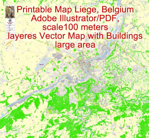
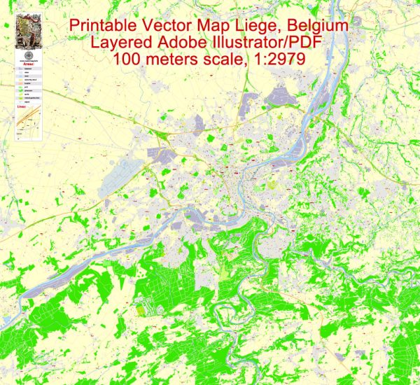
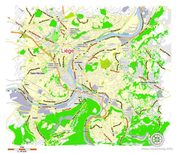
- River Meuse (Maas): The River Meuse flows through the heart of Liège, dividing the city into two parts. It serves as a major waterway and adds to the scenic beauty of the city. The river is navigable and has historically played a crucial role in the city’s trade and transportation.
- Albert Canal: While not directly passing through the city center, the Albert Canal is an important waterway for Liège. It connects the Meuse River to the Scheldt River, providing a crucial transportation route for goods.
Bridges:
- Pont de Fragnée: This bridge spans the River Meuse and connects the neighborhoods of Bressoux and Fragnée. It is a historic bridge with architectural significance.
- Pont de Liège: Another important bridge crossing the Meuse, the Pont de Liège connects the city center to the district of Saint-Léonard. It offers picturesque views of the river and the city.
- Passerelle La Belle Liégeoise: This pedestrian bridge is known for its elegant design and connects the Boverie Park to the Outremeuse district.
Main Streets:
- Rue de la Cathédrale: This street is located in the heart of the city and leads to the Liège Cathedral (Saint Paul’s Cathedral). It is lined with shops, cafes, and historical buildings.
- Rue Léopold: Running through the city center, Rue Léopold is a bustling street with a mix of shops, restaurants, and cultural attractions.
- Boulevard de la Sauvenière: This boulevard is known for its vibrant atmosphere, featuring theaters, cinemas, and a variety of entertainment options. It runs along the river, providing a pleasant promenade.
- Quai de la Batte: Situated along the Meuse River, Quai de la Batte is a waterfront promenade with cafes, restaurants, and a lively market on Sundays. It offers a charming view of the river and the city.
These descriptions provide a glimpse into the key waterways, bridges, and main streets that contribute to the unique character of Liège, blending historical charm with modern amenities. Keep in mind that the cityscape and infrastructure may evolve, so it’s always a good idea to check for the latest information if you’re planning a visit.

 Author: Kirill Shrayber, Ph.D. FRGS