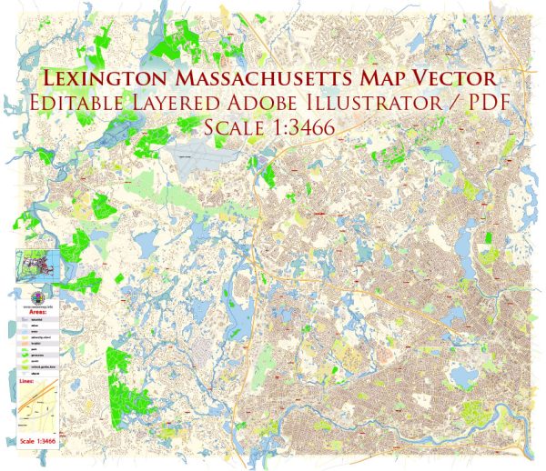
Here are some principal streets and roads in Lexington, Massachusetts. We provide you with the most accurate and up-to-date vector maps in Adobe Illustrator, PDF and other formats, designed for editing and printing. Please read the vector map descriptions carefully.
- Massachusetts Avenue (Route 2A): This is a major thoroughfare in Lexington and serves as a primary route through the town. It connects Lexington to other nearby communities.
- Bedford Street: Running parallel to Massachusetts Avenue in some sections, Bedford Street is another important road in Lexington.
- Waltham Street: This street connects Lexington to the town of Waltham and is an essential route for commuters.
- Marrett Road: Marrett Road runs through the eastern part of Lexington and connects to Route 2A.
- Hancock Street: Hancock Street is located in the central part of Lexington and intersects with Massachusetts Avenue.
- Woburn Street: Woburn Street is in the northern part of Lexington and connects to neighboring areas.
- Pleasant Street: Located in the southern part of Lexington, Pleasant Street is a residential road.
- Winchester Drive: This road runs through various residential areas in Lexington.
- Fiske Street: Fiske Street is another local road in Lexington.
- Lowell Street: Lowell Street is situated in the western part of Lexington.
It’s important to note that Lexington is a town with a rich history, and its road network is designed to accommodate both residential and commuter traffic. For the most current and detailed information, you may want to check with the Lexington town government, consult local maps, or use online mapping services that provide real-time data. Additionally, the town’s official website may have information on road projects, closures, or other relevant updates.


 Author: Kirill Shrayber, Ph.D. FRGS