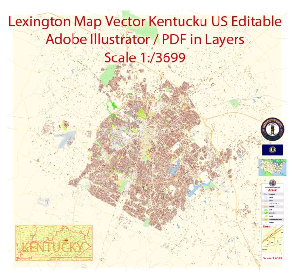
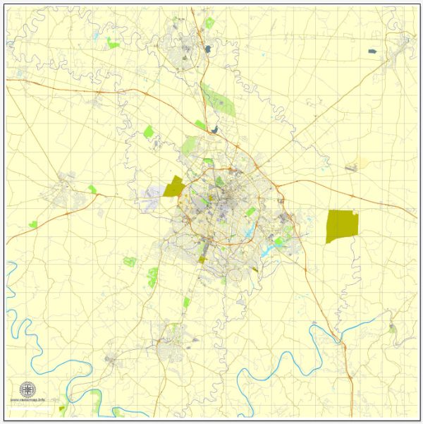
Lexington, Kentucky, is located in the heart of the Bluegrass Region and is known for its horse farms, historic sites, and vibrant community. While Lexington is not directly situated on a major river, it is still served by various waterways, bridges, and main streets that contribute to its infrastructure and connectivity.
Waterways:
- Town Branch: One of the notable waterways in Lexington is Town Branch, a stream that runs through the downtown area. Historically, it played a significant role in the settlement and development of the city.
Bridges:
- Old Frankfort Pike Bridge: Crossing Town Branch, this bridge is a historic structure that provides a scenic route to the west of Lexington.
- Clays Ferry Bridge: Located south of Lexington, this bridge spans the Kentucky River and is a key transportation link in the region.
Main Streets:
- Main Street: As the name suggests, Main Street is a central thoroughfare in downtown Lexington, lined with shops, restaurants, and cultural attractions.
- West Main Street: This section of Main Street extends westward from downtown and is home to historic architecture and landmarks.
- East Main Street: This portion of Main Street stretches eastward and is also known for its mix of commercial and residential areas.
- Broadway: Another significant street in Lexington, Broadway intersects with Main Street and is known for its entertainment venues, shops, and dining options.
- Newtown Pike: Connecting the northern part of Lexington to the downtown area, Newtown Pike is a major roadway facilitating transportation in the city.
- Man o’ War Boulevard: This outer loop road encircles much of Lexington, providing a convenient route for commuters and connecting various neighborhoods.
We provide you with the most accurate and up-to-date vector maps in Adobe Illustrator, PDF and other formats, designed for editing and printing. Please read the vector map descriptions carefully.


 Author: Kirill Shrayber, Ph.D. FRGS