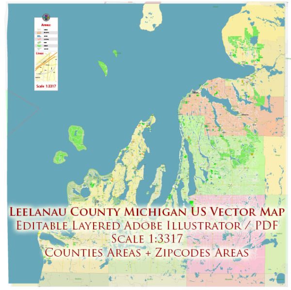
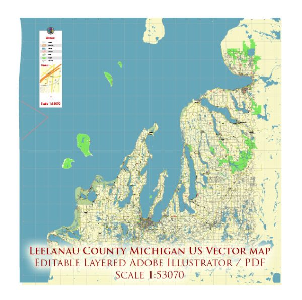
Leelanau County is located in the U.S. state of Michigan and is known for its scenic landscapes, including Lake Michigan shoreline and numerous inland lakes. A general information about the county’s principal waterways, bridges, and main roads, we provide you with the most accurate and up-to-date vector maps in Adobe Illustrator, PDF and other formats, designed for editing and printing. Please read the vector map descriptions carefully.
Principal Waterways:
- Lake Michigan: Leelanau County has a significant portion of its western border along Lake Michigan, providing scenic views and recreational opportunities.
- Glen Lake: Located in the southern part of the county, Glen Lake is a popular inland lake known for its clear waters and surrounding natural beauty.
- Crystal River: Flowing through the county, the Crystal River is known for its pristine waters and is a popular destination for canoeing and kayaking.
Bridges: Leelanau County has several bridges that facilitate transportation across its waterways. Notable bridges include those spanning rivers, streams, and connecting various parts of the county. Some bridges may be located along major roads or highways.
Main Roads:
- M-22: One of the most scenic drives in Michigan, M-22 runs along the western shore of the Leelanau Peninsula, offering stunning views of Lake Michigan and passing through charming towns like Suttons Bay and Leland.
- M-72: This state highway runs east-west and connects Traverse City to Empire, providing access to Sleeping Bear Dunes National Lakeshore, which is partially located in Leelanau County.
- County Road 616: This road runs north-south through the county, providing access to various inland areas and connecting with M-22 in the northern part of the peninsula.
Please keep in mind that road names and numbers, as well as infrastructure details, may have changed since my last update, so it’s advisable to consult local maps or transportation authorities for the most current information.


 Author: Kirill Shrayber, Ph.D. FRGS