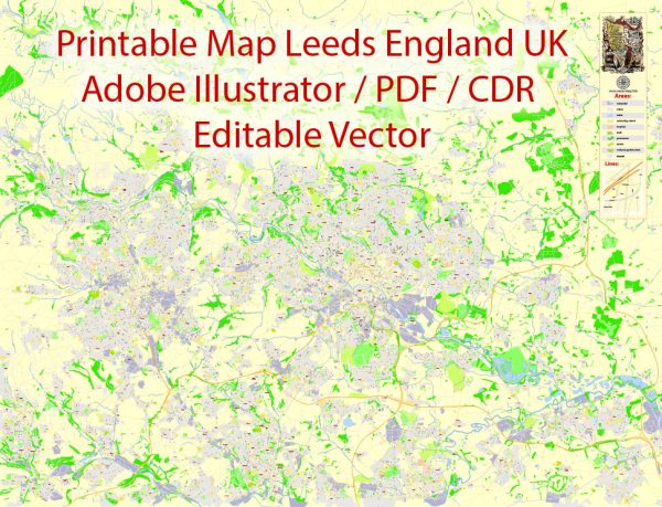
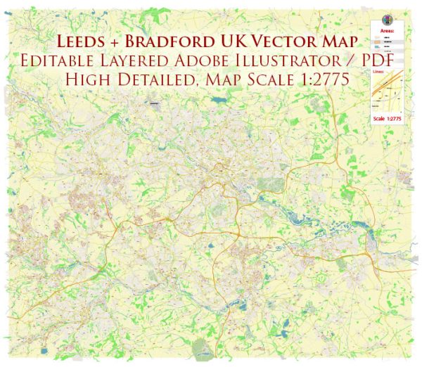
Leeds and Bradford are two major cities in West Yorkshire, United Kingdom, and they have well-developed road networks. Here’s an overview of some principal streets and roads in each city:
Leeds:
- The Headrow:
- A key street in the city center, hosting many shops, restaurants, and cultural institutions.
- Briggate:
- One of the oldest streets, known for its historic buildings, shops, and vibrant atmosphere.
- Park Row:
- Connects the financial district with the city center, lined with offices and businesses.
- Eastgate:
- Located in the heart of Leeds, it’s a popular shopping area with various retail stores.
- Kirkstall Road:
- A major road connecting the city center to the suburb of Kirkstall, hosting businesses and entertainment venues.
- A58(M) Inner Ring Road:
- An inner ring road facilitating traffic flow around the city center.
- M621 Motorway:
- Connecting Leeds to the national motorway network, providing easy access to other parts of the country.
Bradford:
- Broadway:
- A central street in the city, home to the Broadway Shopping Centre and various shops.
- Manor Row:
- Located in the heart of Bradford, known for its historic architecture and cultural institutions.
- Leeds Road:
- Connecting Bradford to Leeds and serving as a major transportation route.
- Manchester Road:
- A significant road connecting Bradford to nearby towns and serving local businesses.
- Canal Road:
- Running parallel to the Leeds and Liverpool Canal, this road is an important transportation route.
- A6177 Inner Ring Road:
- An inner ring road facilitating traffic circulation around the city center.
- M606 Motorway:
- Connecting Bradford to the M62 motorway, providing access to the national motorway network.
Both cities have a network of smaller streets, avenues, and residential roads that contribute to their overall transportation infrastructure. Additionally, public transportation, including buses and trains, plays a crucial role in connecting different parts of these cities. We provide you with the most accurate and up-to-date vector maps in Adobe Illustrator, PDF and other formats, designed for editing and printing. Please read the vector map descriptions carefully.


 Author: Kirill Shrayber, Ph.D. FRGS