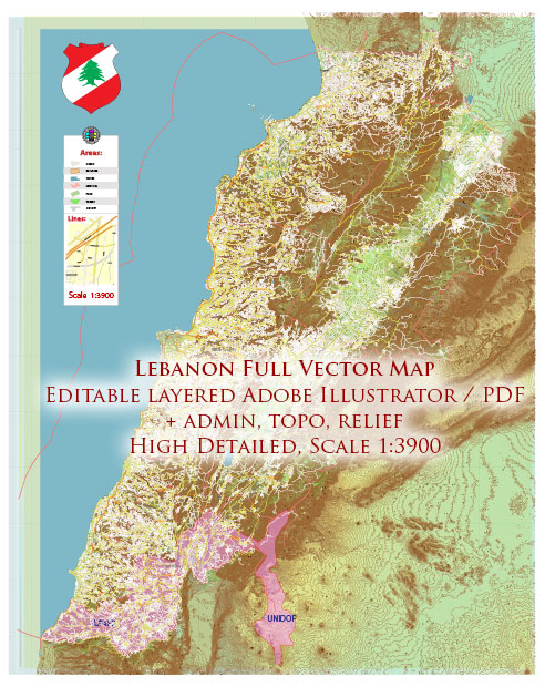
Lebanon is a small country located on the eastern shore of the Mediterranean Sea in the Middle East. It is known for its diverse landscapes, rich history, and cultural heritage. Here are some of the main cities and roads in Lebanon:
Main Cities:
- Beirut:
- The capital and largest city of Lebanon.
- Known for its vibrant culture, historical sites, and nightlife.
- Beirut is a major economic and financial hub in the region.
- Tripoli:
- Located in northern Lebanon, it is the second-largest city.
- Known for its historic sites, including the Citadel of Raymond de Saint-Gilles.
- Sidon (Saida):
- A coastal city known for its historical significance and archaeological sites.
- Tyre (Sour):
- An ancient Phoenician city with well-preserved ruins, including Roman Hippodrome.
- Byblos (Jbeil):
- One of the oldest continuously inhabited cities in the world.
- Famous for its archaeological ruins and historical port.
- Jounieh:
- A coastal city known for its entertainment and nightlife, located north of Beirut.
Main Roads:
- Beirut-Damascus International Highway:
- Connects Beirut, the capital of Lebanon, to the Syrian capital, Damascus.
- Beirut-Tripoli Highway:
- Connects Beirut to Tripoli in northern Lebanon.
- Beirut-Sidon (Saida) Highway:
- Connects Beirut to the southern city of Sidon.
- Beirut-Tyre (Sour) Highway:
- Connects Beirut to the southern city of Tyre.
- Northern Coastal Highway:
- Runs along the northern coast of Lebanon, connecting various cities and towns.
- Bekaa Valley Highway:
- Connects Beirut to the Bekaa Valley, an agricultural region in eastern Lebanon.
- Lebanese Mountain Trail:
- A long-distance hiking trail that extends from the northern mountains to the southern mountains, passing through various towns and villages.
It’s important to note that Lebanon has a complex network of roads, and traffic conditions can vary. Additionally, the geopolitical situation in the region can impact travel routes, so it’s advisable to check for the latest information and travel advisories when planning a trip in Lebanon.


 Author: Kirill Shrayber, Ph.D. FRGS