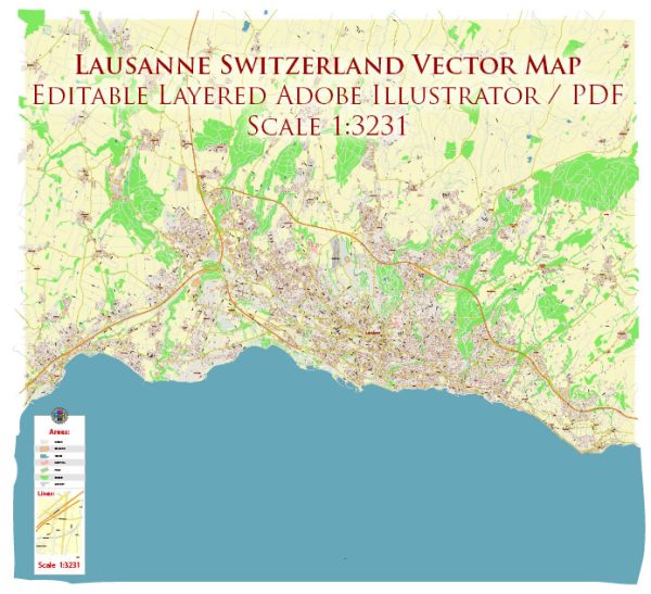
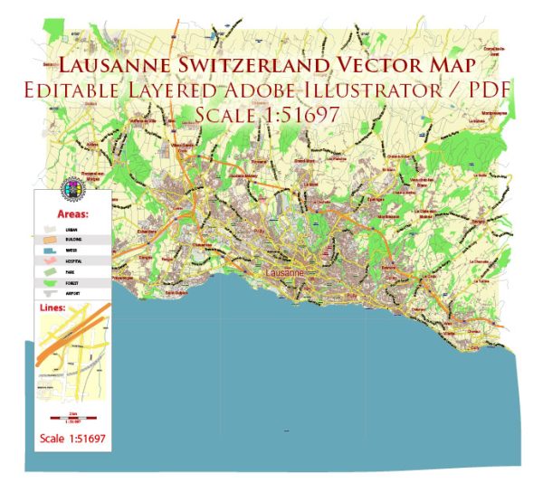
Lausanne, located on the shores of Lake Geneva in Switzerland, is a city known for its picturesque setting and hilly terrain. Here are some of the principal streets and roads in Lausanne:
- Avenue Benjamin-Constant: This avenue runs along the northern shore of Lake Geneva and offers beautiful views of the lake and the Alps.
- Avenue de la Gare: Located near the main train station (Gare de Lausanne), this avenue is a central transportation hub with various shops and businesses.
- Rue Centrale: This is a major shopping street in the city center, lined with boutiques, restaurants, and cafes.
- Place St-François: A central square in Lausanne, surrounded by shops, banks, and historical buildings. It’s a popular meeting point.
- Avenue Louis-Ruchonnet: This avenue connects the Flon district to the main train station and is known for its vibrant atmosphere and nightlife.
- Rue de Bourg: Another lively street in the city center, Rue de Bourg is famous for its shops, including high-end boutiques and international brands.
- Place de la Palud: A historic square in the Old Town (Vieille Ville), featuring the Lausanne City Hall and the Fountain of Justice.
- Avenue d’Ouchy: Leading towards the Ouchy district on the shores of Lake Geneva, this avenue is known for its lakeside promenade and the Château d’Ouchy.
- Chemin de Montolivet: This road winds through the hilly terrain of Lausanne and offers panoramic views of the city and the lake.
- Avenue de Rhodanie: Running along the waterfront, this avenue provides scenic views of Lake Geneva and is a popular route for walking and cycling.
- Route de Berne: One of the major roads leading into Lausanne, connecting the city to the rest of Switzerland.
- Chemin des Bossons: A road leading to the University of Lausanne (UNIL) campus, situated on the outskirts of the city.
Please note that Lausanne’s layout can be quite hilly, and its streets often offer stunning views of the lake and the surrounding landscapes. The public transportation system, including buses and the metro, is well-developed and can be a convenient way to explore the city and its various neighborhoods.


 Author: Kirill Shrayber, Ph.D. FRGS